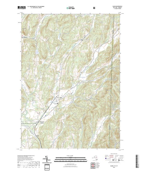
2023 Map of Salem
USGS Topo · Published 2023About this map
Salem serves as the central hub of this eastern Washington County landscape, where the valley of White Creek meets the broader flow of the Batten-Kill. The town’s long history is visible through its numerous burial grounds, including the Revolutionary War Cem and Evergreen Cem. To the south, Greenwich Junction and Rexleigh mark important historical transit points near the river. The terrain is defined by significant ridges like Hogback Ridge and Hebron Mtn, which frame the agricultural valleys.
Find a feature on this map
87 named features on this map. Tap any name to fly to it.
Don’t see what you’re looking for? This feature index may not catch every label — zoom into the map to look around manually.
Map Details
Editions of this 2023 Salem Map
This is the sole edition of this map. No revisions or reprints were ever made.
Other maps of this area

1893 · Fort Ann
USGS Topo · 1:62,500

1894 · Pawlet
USGS Topo · 1:62,500

1894 · Equinox
USGS Topo · 1:62,500

1895 · Cambridge
USGS Topo · 1:62,500

1895 · Fort Ann
USGS Topo · 1:62,500

1896 · Equinox
USGS Topo · 1:62,500

1897 · Pawlet
USGS Topo · 1:62,500

1898 · Cambridge
USGS Topo · 1:62,500

1898 · Fort Ann
USGS Topo · 1:62,500

1900 · Equinox
USGS Topo · 1:62,500