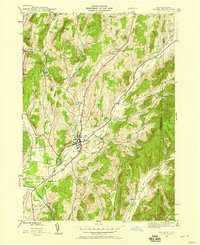
1944 Map of Salem
USGS Topo · Published 1958About this map
Salem serves as the central hub for this 1944 survey of Washington County, New York, situated where several prominent valleys and waterways converge. The town is a focal point for the Delaware and Hudson railroad, which follows the corridor of White Creek through the landscape. To the south, the rail line passes through Greenwich Junc and near the settlement of Rexleigh before crossing the Batten Kill. This area shows a well-established rural infrastructure, evidenced by numerous burial grounds including Evergreen Cem and Catholic Cem.
Find a feature on this map
33 named features on this map. Tap any name to fly to it.
Don’t see what you’re looking for? This feature index may not catch every label — zoom into the map to look around manually.
Map Details
Editions of this 1944 Salem Map
2 editions found
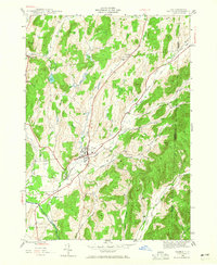
Other maps of this area

1893 · Fort Ann
USGS Topo · 1:62,500

1894 · Pawlet
USGS Topo · 1:62,500

1894 · Equinox
USGS Topo · 1:62,500

1895 · Cambridge
USGS Topo · 1:62,500

1895 · Fort Ann
USGS Topo · 1:62,500

1896 · Equinox
USGS Topo · 1:62,500

1897 · Pawlet
USGS Topo · 1:62,500

1898 · Cambridge
USGS Topo · 1:62,500

1898 · Fort Ann
USGS Topo · 1:62,500

1900 · Equinox
USGS Topo · 1:62,500