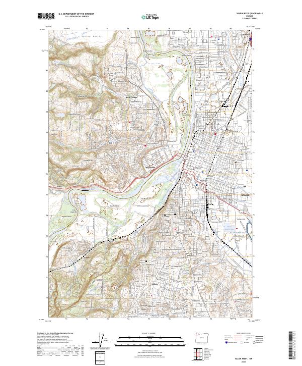
2023 Map of Salem West
USGS Topo · Published 2023About this map
The Willamette River acts as the primary geographic divider between the western hills and the state capital’s central core, where the Marion County Courthouse and Supreme Court of the State of Oregon anchor the civic district. This landscape reveals the complex hydrology of the valley, featuring numerous river bars like Beardsley Bar and Gray Eagle Bar, alongside islands such as Minto Island and Hayden Island. The terrain rises sharply to the west into the Eola Hills and Salem Hills, where residential growth at Brush College and West Salem overlooks the river plain.
Find a feature on this map
79 named features on this map. Tap any name to fly to it.
Don’t see what you’re looking for? This feature index may not catch every label — zoom into the map to look around manually.
Map Details
Editions of this 2023 Salem West Map
This is the sole edition of this map. No revisions or reprints were ever made.
Other maps of this area

1914 · Independence
USGS Topo · 1:31,680

1915 · Rickreall
USGS Topo · 1:31,680

1915 · Eola
USGS Topo · 1:31,680

1915 · Sidney
USGS Topo · 1:31,680

1917 · Salem
USGS Topo · 1:62,500

1923 · Mount Angel
USGS Topo · 1:62,500

1924 · Mc Minnville
USGS Topo · 1:48,000

1925 · Stayton
USGS Topo · 1:62,500

1926 · Mc Minnville
USGS Topo · 1:62,500

1940 · McMinnville
USGS Topo · 1:62,500