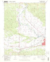
1983 Map of Salida West
USGS Topo · Published 1983About this map
The confluence of the Arkansas River and the South Arkansas River serves as the focal point for this 1983 survey of the Chaffee County landscape. The topography transitions from the high peaks of the San Isabel National Forest down into the broad, flat basins of Adobe Park and Missouri Park. These parks are crisscrossed by a complex network of irrigation infrastructure, including the Harrington Ditch, Kraft Ditch, and Del Monte Ditch, reflecting the area's agricultural reliance on mountain snowmelt.
Find a feature on this map
48 named features on this map. Tap any name to fly to it.
Don’t see what you’re looking for? This feature index may not catch every label — zoom into the map to look around manually.
Map Details
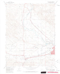
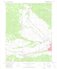
Editions of this 1983 Salida West Map
3 editions found
Other maps of this area

1954 · Pueblo
USGS Topo · 1:250,000

1956 · Cameron Mountain
USGS Topo · 1:62,500

1956 · Poncha Springs
USGS Topo · 1:62,500

1956 · Montrose
USGS Topo · 1:250,000

1957 · Pueblo
USGS Topo · 1:250,000

1958 · Pueblo
USGS Topo · 1:250,000

1959 · Montrose
USGS Topo · 1:250,000

1959 · Bonanza
USGS Topo · 1:62,500

1959 · Howard
USGS Topo · 1:62,500

1960 · Montrose
USGS Topo · 1:250,000