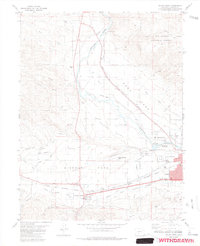
1983 Map of Salida West
USGS Topo · Published 1983About this map
The Arkansas River valley serves as the central corridor for this 1980s-era topographic study, where the Denver and Rio Grande Western railroad tracks parallel the river's course. The settlement of Smeltertown sits at a narrow point in the valley, while the broader expanse of Missouri Park to the south reveals a landscape shaped by irrigation and transport. This area highlights a transition from industrial hubs to agricultural lands, anchored by the town of Poncha Springs and the outskirts of Salida.
Find a feature on this map
40 named features on this map. Tap any name to fly to it.
Don’t see what you’re looking for? This feature index may not catch every label — zoom into the map to look around manually.
Map Details
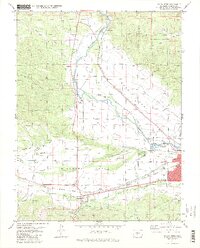
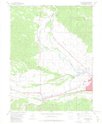
Editions of this 1983 Salida West Map
3 editions found
Other maps of this area

1954 · Pueblo
USGS Topo · 1:250,000

1956 · Cameron Mountain
USGS Topo · 1:62,500

1956 · Poncha Springs
USGS Topo · 1:62,500

1956 · Montrose
USGS Topo · 1:250,000

1957 · Pueblo
USGS Topo · 1:250,000

1958 · Pueblo
USGS Topo · 1:250,000

1959 · Montrose
USGS Topo · 1:250,000

1959 · Bonanza
USGS Topo · 1:62,500

1959 · Howard
USGS Topo · 1:62,500

1960 · Montrose
USGS Topo · 1:250,000