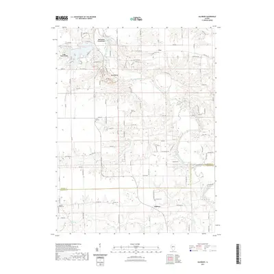
2024 Map of Salisbury
USGS Topo · Published 2024About this map
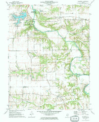
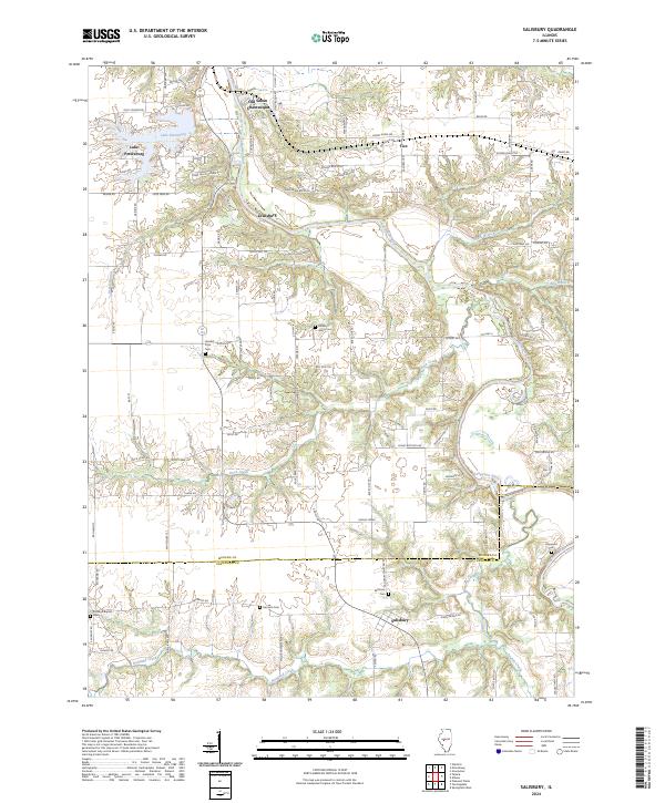
The Sangamon River carves a winding path through this portion of central Illinois, where the border between Menard Co and Sangamon Co meets near the settlement of Salisbury. The landscape is a mix of wooded creek valleys and agricultural plateaus, punctuated by small communities like Lewisburg and Tice. Of particular interest to local historians is the site of New Salem Village and the adjacent Old Salem Chautauqua, areas deeply connected to the early life of Abraham Lincoln. To the west, the man-made Lake Petersburg creates a distinct residential and recreational geography. Genealogists will find several family and community burial grounds across the quadrangle, including the Farmers Point Cem, Hickory Grove Cem, and the Richland Baptist Cem located along the southern reaches of Richland Creek.
Find a feature on this map
102 named features on this map. Tap any name to fly to it.
Don’t see what you’re looking for? This feature index may not catch every label — zoom into the map to look around manually.
Map Details
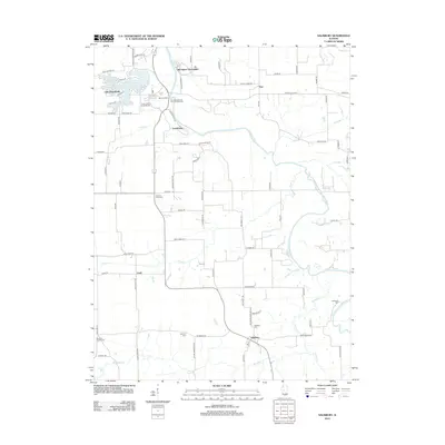
Editions of this 2024 Salisbury Map
This is the sole edition of this map. No revisions or reprints were ever made.
Historical Maps of Tice Through Time
6 maps found