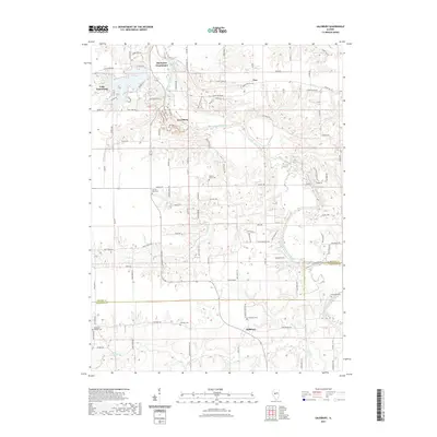
2021 Map of Salisbury
USGS Topo · Published 2021About this map
The Sangamon River carves a winding path across this landscape, dividing the border between Menard Co and Sangamon Co. At the northern edge, Old Salem Chautauqua and New Salem Village represent significant cultural and heritage sites situated just east of the expansive Lake Petersburg. These locations suggest a region defined by historical preservation and recreation, where the river valley supports both established settlements like Salisbury and Tice and newer developments such as Hideaway Ests.
Find a feature on this map
108 named features on this map. Tap any name to fly to it.
Don’t see what you’re looking for? This feature index may not catch every label — zoom into the map to look around manually.
Map Details
Editions of this 2021 Salisbury Map
This is the sole edition of this map. No revisions or reprints were ever made.
Other maps of this area

1907 · Springfield
USGS Topo · 1:62,500

1909 · Tallula
USGS Topo · 1:62,500

1930 · Springfield
USGS Topo · 1:62,500

1933 · Petersburg
USGS Topo · 1:62,500

1938 · Petersburg
USGS Topo · 1:62,500

1940 · Tallula
USGS Topo · 1:62,500

1940 · Springfield
USGS Topo · 1:62,500

1948 · Mason City
USGS Topo · 1:62,500

1949 · Mason City
USGS Topo · 1:62,500

1950 · Springfield West
USGS Topo · 1:24,000