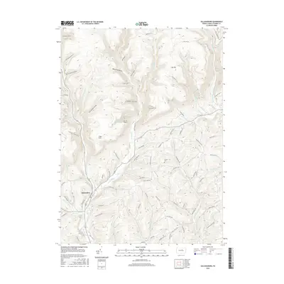
2016 Map of Salladasburg
USGS Topo · Published 2016About this map
Salladasburg serves as the primary center of settlement in this Lycoming County valley, where Larrys Creek and the First Fork Larrys Cr converge. The landscape is defined by a dense network of high ridges and named drainages, including the notable Coal Mtn and the appropriately named Spook Hollow and Pot Lick Hollow. This 2016 survey illustrates a rural interior where steep topography has dictated the placement of roads and homesteads, largely following the contours of the numerous runs and hollows that feed into the larger creek systems. Genealogy researchers will find the Anthony Cem tucked away near Quenshukeny Rd, while those interested in local landmarks can trace the positions of high elevations like Harris Point and Clapp Point. The map provides a clear picture of modern land use in a region where farming and residential plots are concentrated in the few relatively level areas like those along Beautys Run.
Find a feature on this map
76 named features on this map. Tap any name to fly to it.
Don’t see what you’re looking for? This feature index may not catch every label — zoom into the map to look around manually.
Map Details
Editions of this 2016 Salladasburg Map
This is the sole edition of this map. No revisions or reprints were ever made.
Other maps of this area

1921 · Williamsport
USGS Topo · 1:48,000

1921 · Trout Run
USGS Topo · 1:62,500

1921 · Lock Haven
USGS Topo · 1:62,500

1923 · Lock Haven
USGS Topo · 1:62,500

1923 · Trout Run
USGS Topo · 1:62,500

1923 · Williamsport
USGS Topo · 1:62,500

1935 · Waterville
USGS Topo · 1:24,000

1937 · Waterville
USGS Topo · 1:48,000

1943 · Waterville
USGS Topo · 1:62,500

1944 · Trout Run
USGS Topo · 1:62,500