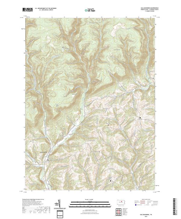
2023 Map of Salladasburg
USGS Topo · Published 2023About this map
Salladasburg anchors the southwestern corner of this landscape, situated at the confluence where the Second Fork Larrys Creek meets the main branch of Larrys Creek. The terrain is defined by a dense network of steep hollows and narrow ridges, such as Spook Hollow and Match Pine Hollow, which channel numerous tributaries toward the West Branch Susquehanna River valley to the south.
Find a feature on this map
80 named features on this map. Tap any name to fly to it.
Don’t see what you’re looking for? This feature index may not catch every label — zoom into the map to look around manually.
Map Details
Editions of this 2023 Salladasburg Map
This is the sole edition of this map. No revisions or reprints were ever made.
Other maps of this area

1921 · Williamsport
USGS Topo · 1:48,000

1921 · Trout Run
USGS Topo · 1:62,500

1921 · Lock Haven
USGS Topo · 1:62,500

1923 · Lock Haven
USGS Topo · 1:62,500

1923 · Trout Run
USGS Topo · 1:62,500

1923 · Williamsport
USGS Topo · 1:62,500

1935 · Waterville
USGS Topo · 1:24,000

1937 · Waterville
USGS Topo · 1:48,000

1943 · Waterville
USGS Topo · 1:62,500

1944 · Trout Run
USGS Topo · 1:62,500