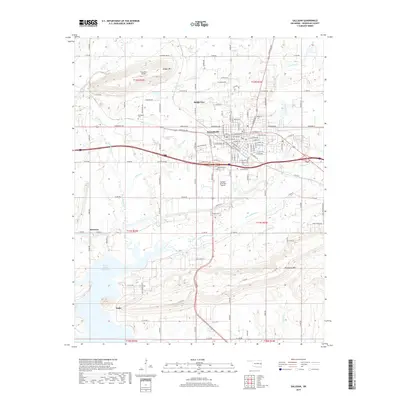
2019 Map of Sallisaw
USGS Topo · Published 2019About this map
Sallisaw serves as the central hub of this Sequoyah County landscape, where the street grid reflects a blend of residential growth and regional infrastructure. The town's layout is defined by major thoroughfares like Cherokee Ave and W Choctaw Ave, which connect the urban center to outlying communities such as Badger Lee to the north and the settlement of Sadie near the southern edge. The topography is marked by significant elevations like Badger Mtn and Wildhorse Mtn, while the southwestern corner is dominated by the expansive waters of the Robert S Kerr Reservoir. This 2019 survey documents a landscape where traditional burial grounds like Sallisaw Cem and Buffington Cem exist alongside modern facilities including the Sallisaw Municipal Airport, illustrating the continued evolution of the area's transport and community centers.
Find a feature on this map
116 named features on this map. Tap any name to fly to it.
Don’t see what you’re looking for? This feature index may not catch every label — zoom into the map to look around manually.
Map Details
Editions of this 2019 Sallisaw Map
This is the sole edition of this map. No revisions or reprints were ever made.
Other maps of this area

1898 · Tahlequah
USGS Topo · 1:125,000

1900 · Sallisaw
USGS Topo · 1:125,000

1901 · Tahlequah
USGS Topo · 1:125,000

1905 · Tahlequah
USGS Topo · 1:125,000

1911 · Sallisaw
USGS Topo · 1:125,000

1946 · Fort Smith
USGS Topo · 1:250,000

1965 · Fort Smith
USGS Topo · 1:250,000

1966 · Gans
USGS Topo · 1:24,000

1966 · Muldrow SW
USGS Topo · 1:24,000

1967 · Fort Smith
USGS Topo · 1:250,000