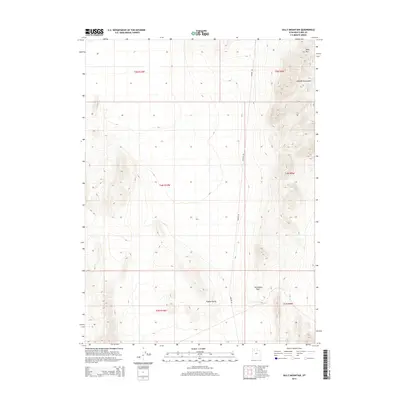
2014 Map of Sally Mountain
USGS Topo · Published 2014About this map
Oasis sits near the center of this high-desert landscape in Box Elder County, positioned at the edge of the expansive Puddle Valley. The terrain is dominated by the steep slopes of the Lakeside Mountains, which rise sharply to the east, anchored by the prominent peak of Sally Mtn. This 2014 survey documents the topographical layout of the Great Basin, where natural corridors like Wrathall Pass provide passage through the mountainous ridges. The isolation of the geography is underscored by the singular presence of Lakeside Rd, which serves as the primary artery through this arid interior. The arrangement of township boundaries and physical landmarks illustrates the classic Western public land survey system superimposed on a demanding, water-scarce environment.
Find a feature on this map
12 named features on this map. Tap any name to fly to it.
Don’t see what you’re looking for? This feature index may not catch every label — zoom into the map to look around manually.
Map Details
Editions of this 2014 Sally Mountain Map
This is the sole edition of this map. No revisions or reprints were ever made.
Other maps of this area

1885 · Tooele Valley
USGS Topo · 1:250,000

1953 · Tooele
USGS Topo · 1:250,000

1954 · Brigham City
USGS Topo · 1:250,000

1955 · Tooele
USGS Topo · 1:250,000

1958 · Brigham City
USGS Topo · 1:250,000

1962 · Brigham City
USGS Topo · 1:250,000

1968 · Deardens Knoll
USGS Topo · 1:24,000

1968 · Craner Peak
USGS Topo · 1:24,000

1969 · Hogup Ridge South
USGS Topo · 1:24,000

1969 · Strongs Knob
USGS Topo · 1:24,000