
1969 Map of Strongs Knob
USGS Topo · Published 1972About this map
Industrial extraction and military operations define this arid landscape on the western edge of the Great Salt Lake. The Southern Pacific (Lucin Cutoff) railroad bisects the terrain, providing a vital transportation artery across the vast Mud Flat that dominates the northern half of the sheet. At the base of the Lakeside Mountains, the large-scale Evaporator Pond and nearby quarry and prospect workings indicate the mineral-focused economy of the region in the late 1960s. The southern reaches are occupied by the Hill Air Force Range, where the Target Guide line cuts across the desert floor toward The Threshold. Isolated landmarks like Strongs Knob and Lakeside Butte rise sharply from the salt flats, while the Homestead Trail and Sedal Pass offer historical traces of overland travel through the steep topography of Sedal Valley.
Find a feature on this map
24 named features on this map. Tap any name to fly to it.
Don’t see what you’re looking for? This feature index may not catch every label — zoom into the map to look around manually.
Map Details
Editions of this 1969 Strongs Knob Map
2 editions found

Other maps of this area

1954 · Brigham City
USGS Topo · 1:250,000

1958 · Brigham City
USGS Topo · 1:250,000

1962 · Brigham City
USGS Topo · 1:250,000

1968 · Deardens Knoll
USGS Topo · 1:24,000

1969 · Gunnison Island SW
USGS Topo · 1:24,000

1969 · Hogup Ridge South
USGS Topo · 1:24,000

1969 · Gunnison Island
USGS Topo · 1:24,000
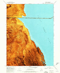
1969 · Lakeside
USGS Topo · 1:24,000

1969 · Hogup Ridge North
USGS Topo · 1:24,000
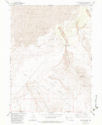
1983 · Round Mountain
USGS Topo · 1:24,000