
1969 Map of Gunnison Island SW
USGS Topo · Published 1972About this map
The northern reaches of the Great Salt Lake dominate this orthophotomap, showing the stark shoreline as it appeared in the late 1960s. At an elevation of 4193 feet recorded in November 1966, the water gives way to an expansive Mud Flat that covers nearly the entire quadrangle. This 1969 survey uses aerial imagery to document the shifting, desolate boundary between the salt water and the alkaline desert basin. Unlike traditional line-drawn maps, this orthophotomosaic provides a direct photographic record of the surface textures and evaporation patterns characteristic of the Box Elder County shoreline during this period.
Find a feature on this map
3 named features on this map. Tap any name to fly to it.
Don’t see what you’re looking for? This feature index may not catch every label — zoom into the map to look around manually.
Map Details
Editions of this 1969 Gunnison Island SW Map
This is the sole edition of this map. No revisions or reprints were ever made.
Other maps of this area

1954 · Brigham City
USGS Topo · 1:250,000

1958 · Brigham City
USGS Topo · 1:250,000

1962 · Brigham City
USGS Topo · 1:250,000

1969 · Dolphin Island West
USGS Topo · 1:24,000

1969 · Hogup Ridge South
USGS Topo · 1:24,000

1969 · Strongs Knob
USGS Topo · 1:24,000

1969 · Gunnison Island
USGS Topo · 1:24,000
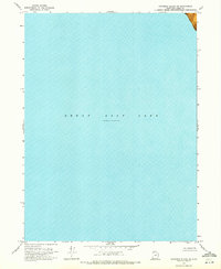
1969 · Gunnison Island NE
USGS Topo · 1:24,000
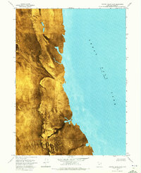
1969 · Dolphin Island East
USGS Topo · 1:24,000
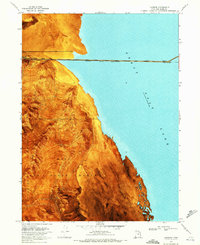
1969 · Lakeside
USGS Topo · 1:24,000