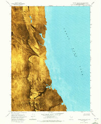
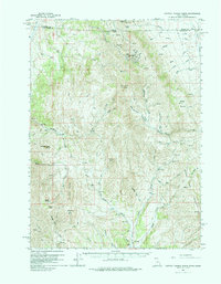
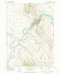
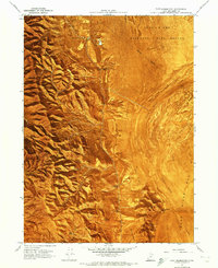
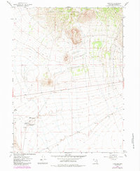
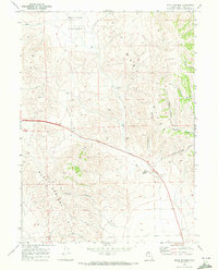
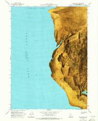
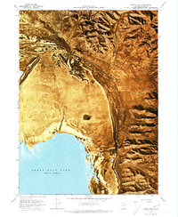
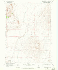
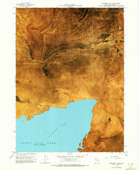
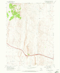
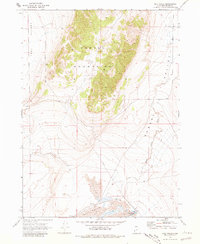
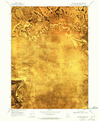
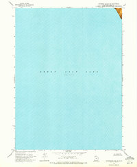
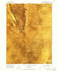
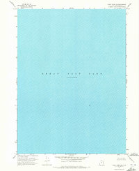
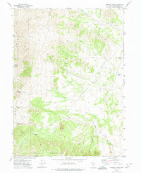
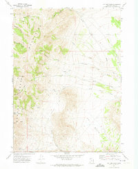
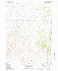
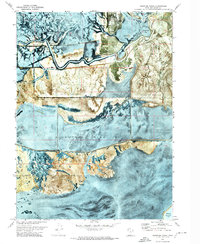
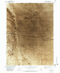
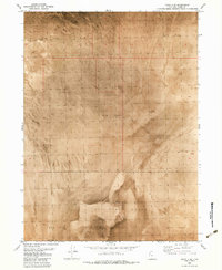
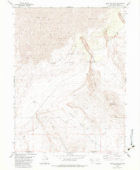
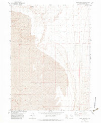
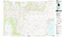
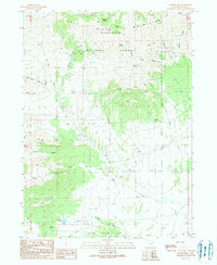
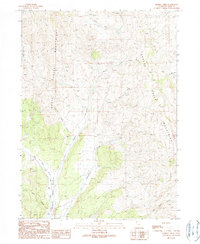
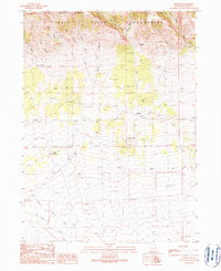
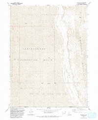
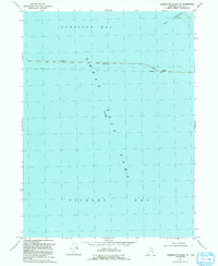
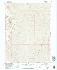
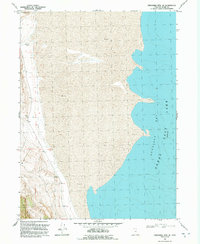
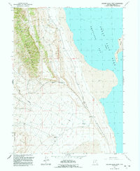
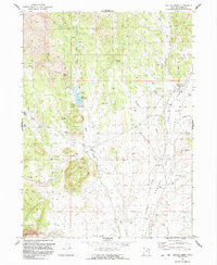
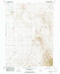
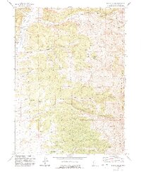
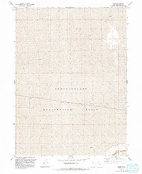
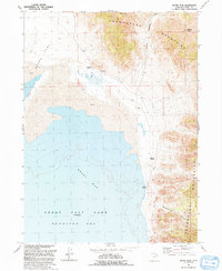
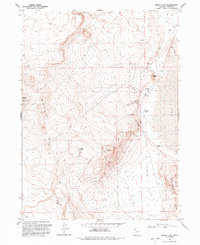
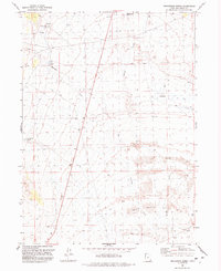
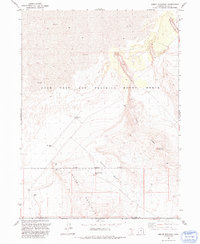
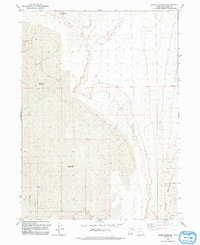
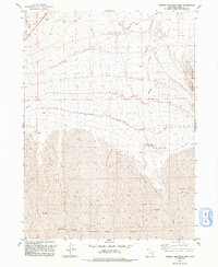
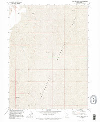
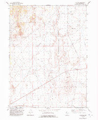
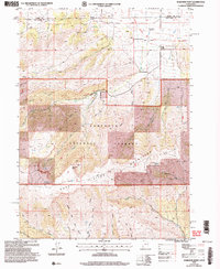
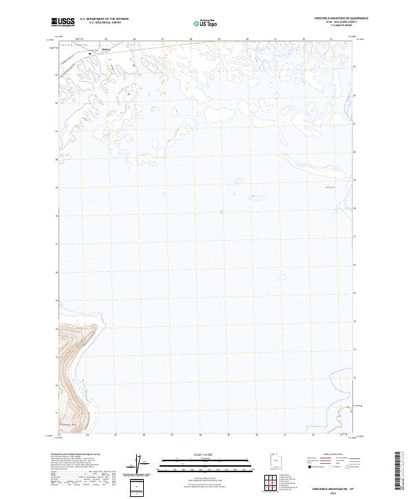
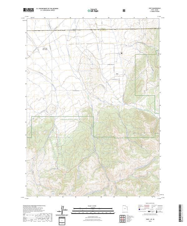
1969 Map of Dolphin Island East
USGS Topo · Published 1972About this map
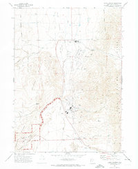
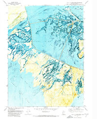
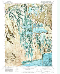
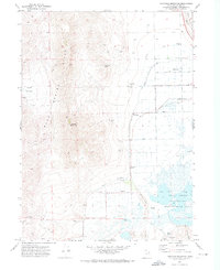
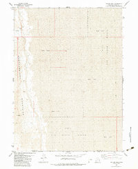
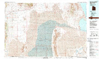
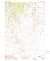
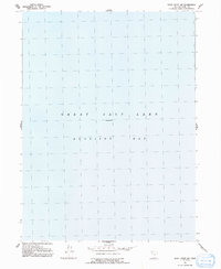
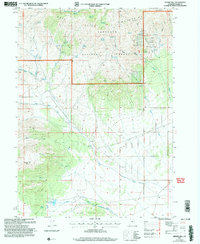
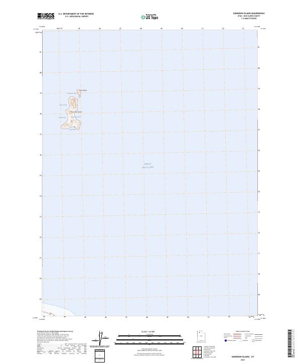
Dolphin Island and the western reaches of the Great Salt Lake define this stark 1969 orthophotomap of Box Elder County. Unlike traditional line-drawn maps, this survey utilizes an orthophotomosaic composed from 1966 and 1969 aerial photography, providing a photographic rendering of the shoreline and the expansive Mud Flat regions. The data records a specific moment in time, noting a Great Salt Lake elevation of 4,193 feet as measured in November 1966. This specialized survey was compiled with technical contributions from the U.S. Naval Reserve and the U.S. Corps of Engineers, focusing on the desolate interface where land and salt water meet. The absence of roads or trails emphasizes the isolation of this corner of the lake during the late 1960s.
Find a feature on this map
3 named features on this map. Tap any name to fly to it.
Don’t see what you’re looking for? This feature index may not catch every label — zoom into the map to look around manually.
Map Details
Editions of this 1969 Dolphin Island East Map
This is the sole edition of this map. No revisions or reprints were ever made.
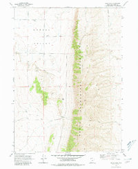
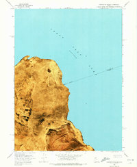
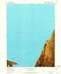
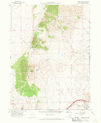
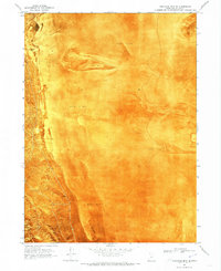
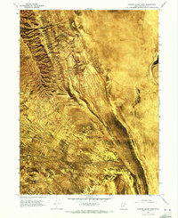
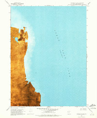
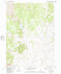
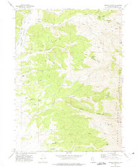
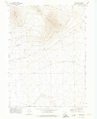
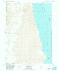
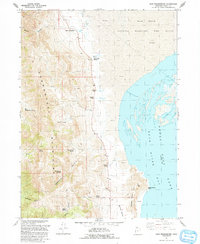
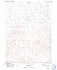
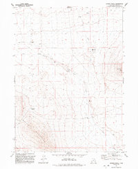
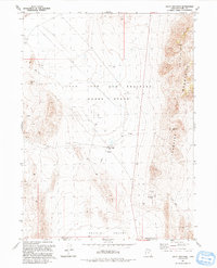
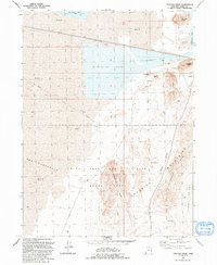
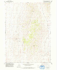
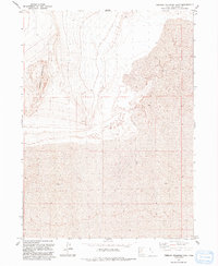
Historical Maps of Box Elder County Through Time
316 maps found
1954 Public Shooting Grounds
Box Elder County, UT

1954 Whistler Canal
Box Elder County, UT
1955 Mouth of Bear River
Box Elder County, UT
1955 Willard Spur
Box Elder County, UT
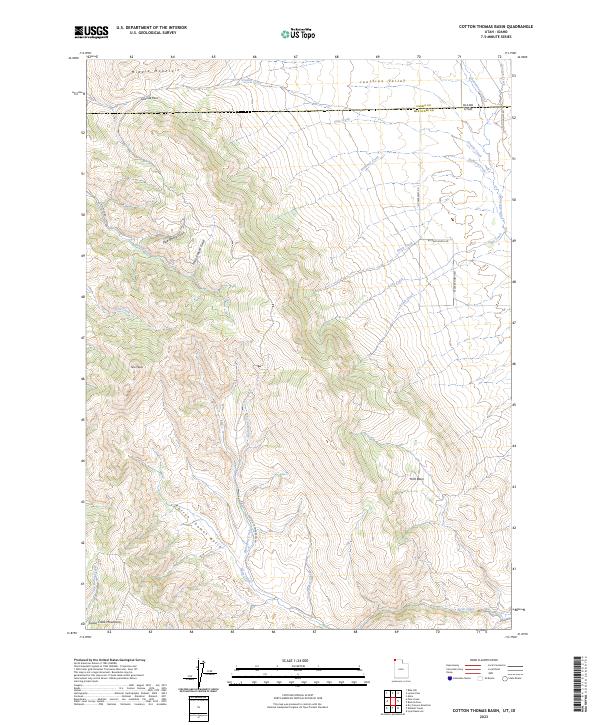
1959 Cotton Thomas Basin
Box Elder County, UT

1959 Kelton Pass
Box Elder County, UT
1959 Park Valley
Box Elder County, UT
1959 Yost
Box Elder County, UT
1961 Thatcher Mountain
Box Elder County, UT
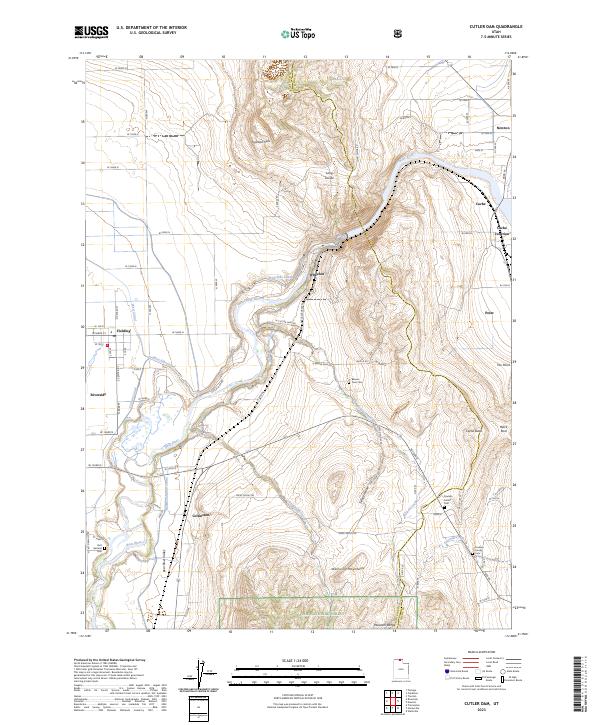
1964 Cutler Dam
Box Elder County, UT
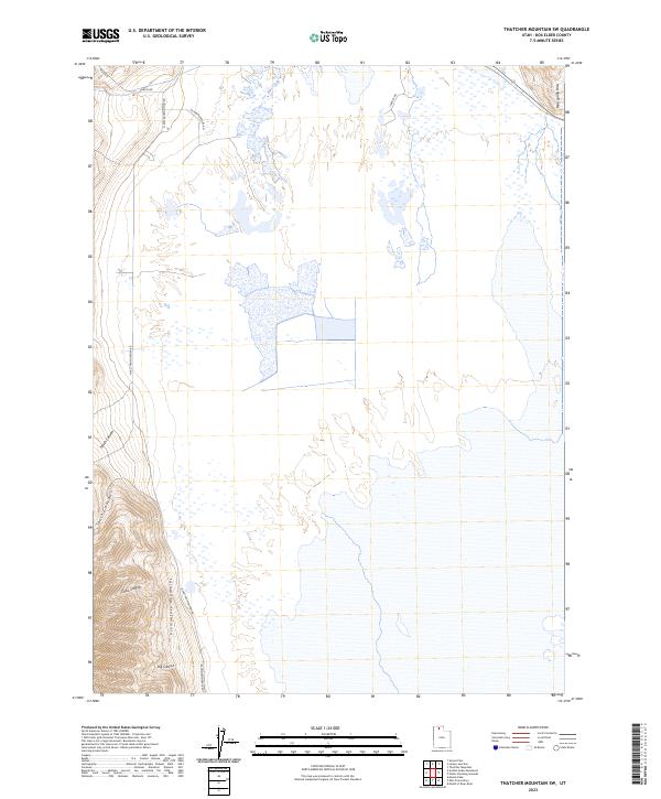
1966 Thatcher Mountain SW
Box Elder County, UT
1967 Crater Island NW
Box Elder County, UT
1967 Crater Island SW
Box Elder County, UT
1967 East Promontory
Box Elder County, UT
1967 Golden Spike Monument
Box Elder County, UT
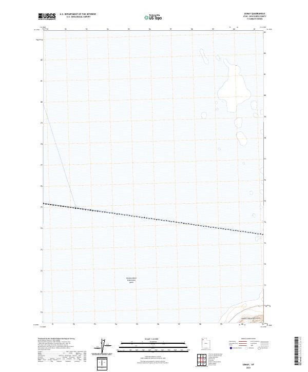
1967 Lemay Island
Box Elder County, UT
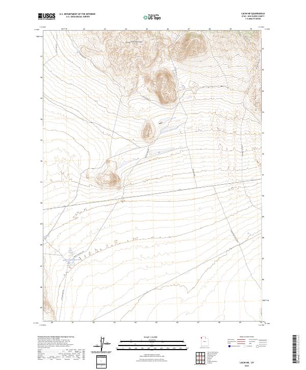
1967 Lucin
Box Elder County, UT
1967 Lucin NE
Box Elder County, UT
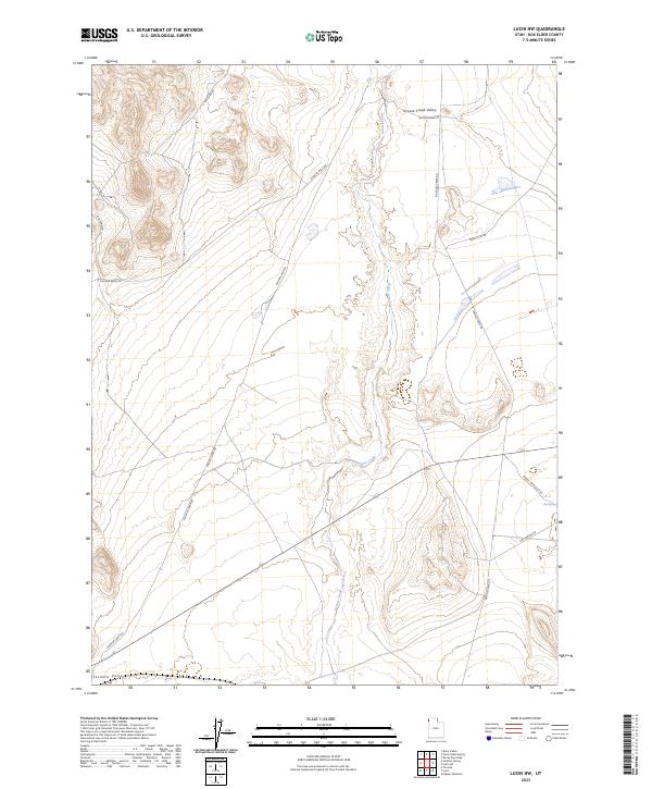
1967 Lucin NW
Box Elder County, UT
1967 Patterson Pass
Box Elder County, UT
1967 Pigeon Mountain
Box Elder County, UT
1968 Blind Springs
Box Elder County, UT
1968 Bulls Pass
Box Elder County, UT
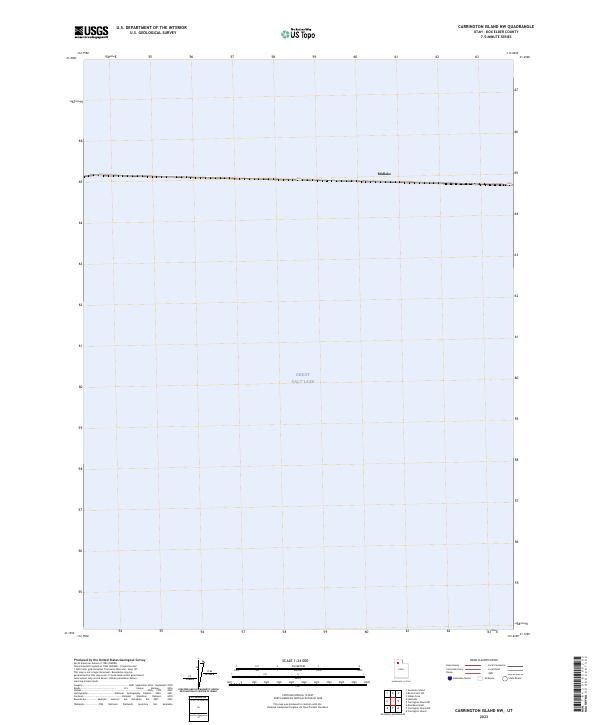
1968 Carrington Island
Box Elder County, UT
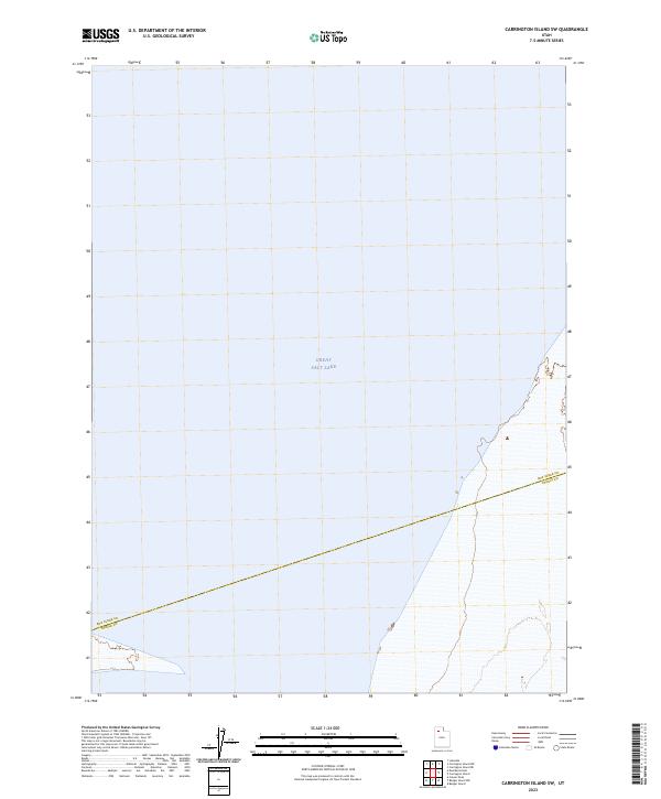
1968 Carrington Island SW
Box Elder County, UT
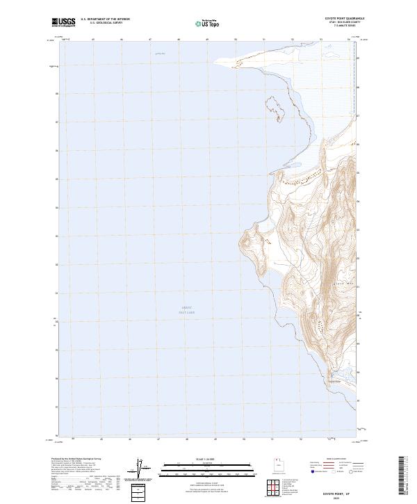
1968 Coyote Point
Box Elder County, UT
1968 Deardens Knoll
Box Elder County, UT
1968 Indian Cove
Box Elder County, UT

1968 Lake Ridge
Box Elder County, UT
1968 Limekiln Knoll
Box Elder County, UT
1968 Messix Peak
Box Elder County, UT
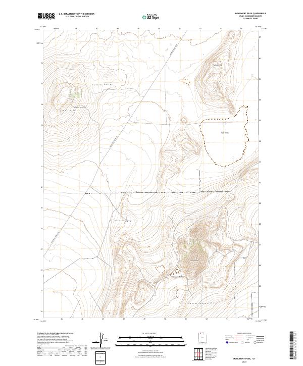
1968 Monument Peak
Box Elder County, UT
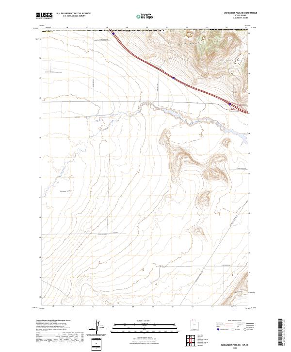
1968 Monument Peak NE
Box Elder County, UT
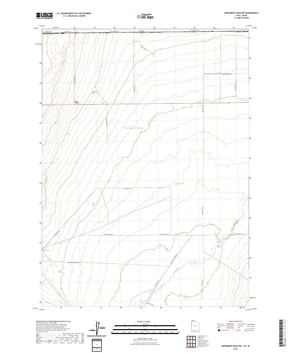
1968 Monument Peak NW
Box Elder County, UT
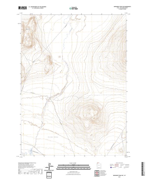
1968 Monument Peak SW
Box Elder County, UT
1968 Monument Point
Box Elder County, UT
1968 Pokes Point
Box Elder County, UT
1968 Promontory Point
Box Elder County, UT
1968 Rattlesnake Pass
Box Elder County, UT
1968 Ridgedale Pass
Box Elder County, UT
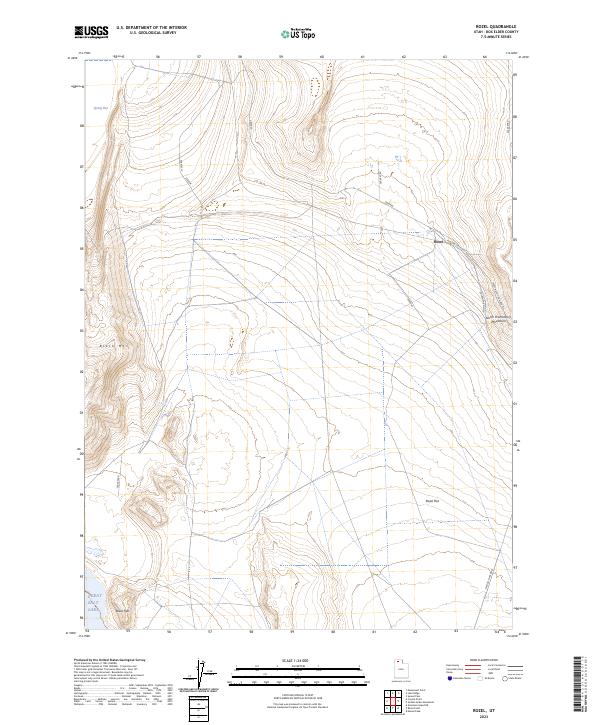
1968 Rozel
Box Elder County, UT
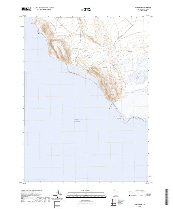
1968 Rozel Point
Box Elder County, UT
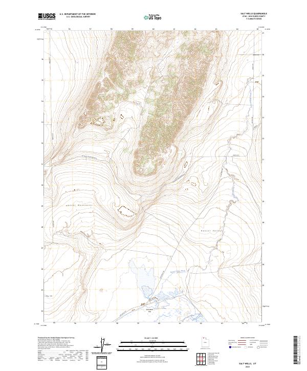
1968 Salt Wells
Box Elder County, UT
1968 Sunset Pass
Box Elder County, UT
1969 Carrington Island NE
Box Elder County, UT
1969 Carrington Island NW
Box Elder County, UT
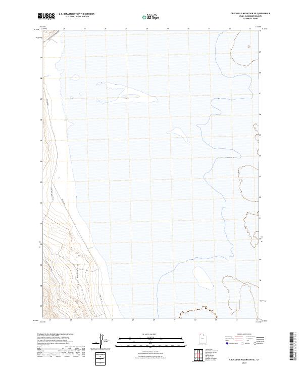
1969 Crocodile Mtn NE
Box Elder County, UT
1969 Crocodile Mtn SE
Box Elder County, UT
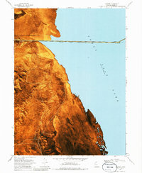
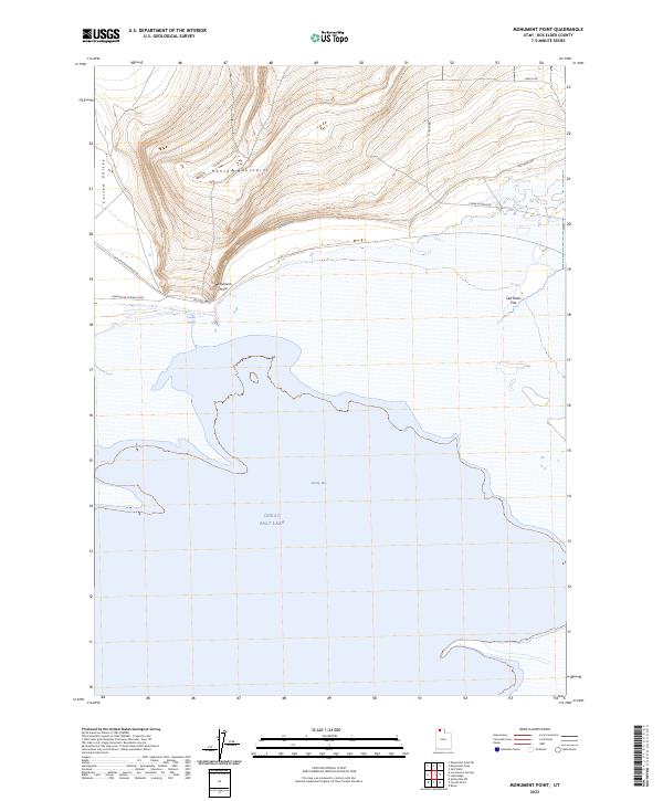
1969 Dolphin Island East
Box Elder County, UT
1969 Dolphin Island West
Box Elder County, UT
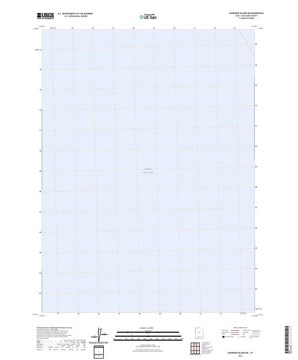
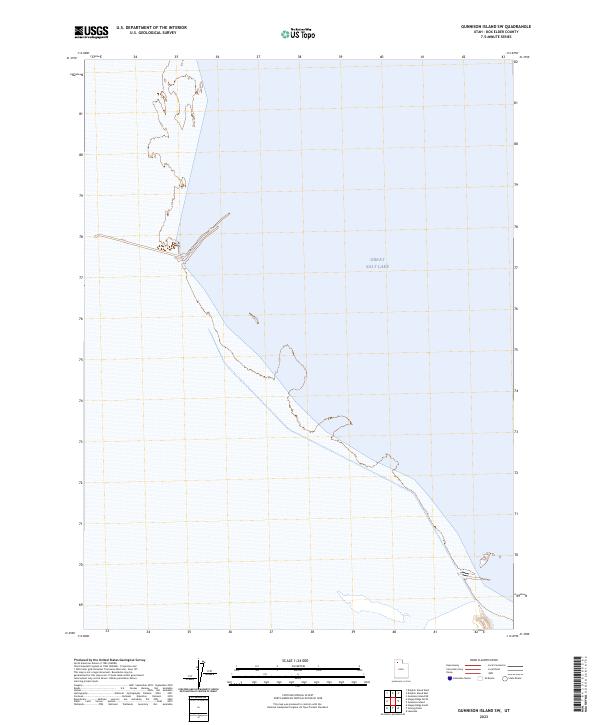
1969 Gunnison Island
Box Elder County, UT
1969 Gunnison Island NE
Box Elder County, UT
1969 Gunnison Island SW
Box Elder County, UT
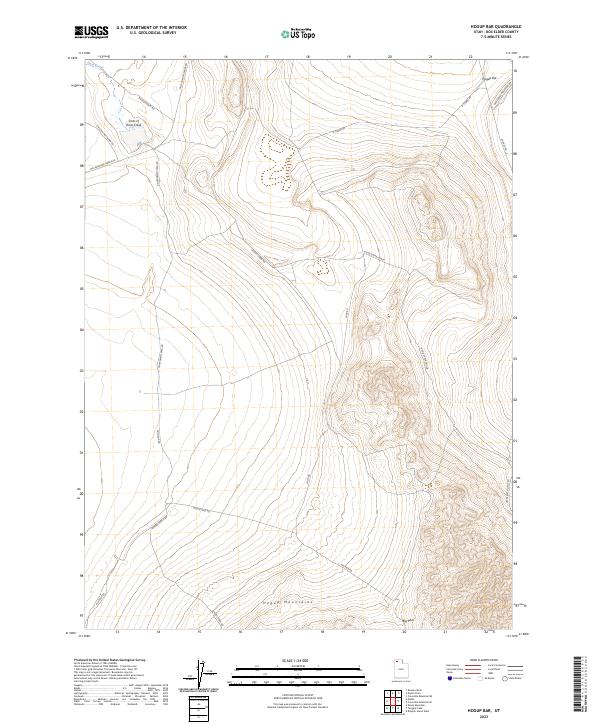
1969 Hogup Bar
Box Elder County, UT
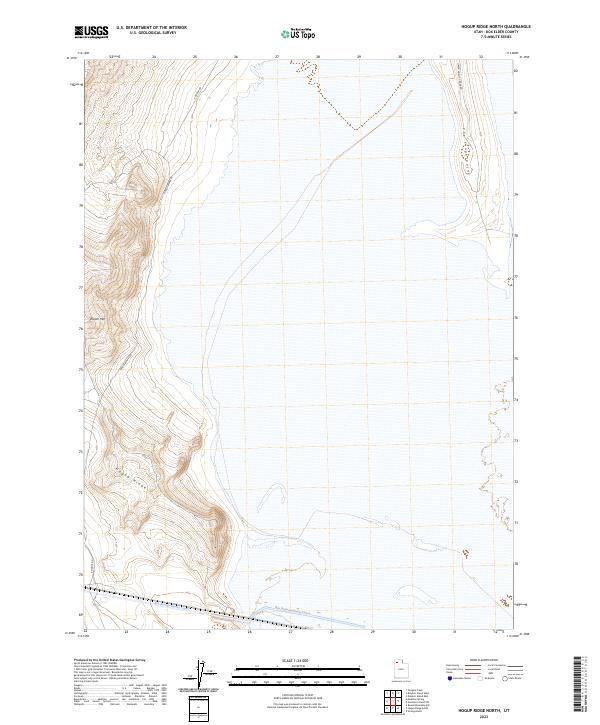
1969 Hogup Ridge North
Box Elder County, UT
1969 Hogup Ridge South
Box Elder County, UT
1969 Lakeside
Box Elder County, UT
1969 Locomotive Springs
Box Elder County, UT
1969 Peplin Flats
Box Elder County, UT
1969 Rozel Point SW
Box Elder County, UT
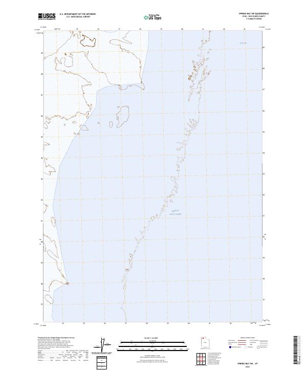
1969 Spring Bay SW
Box Elder County, UT
1969 Strongs Knob
Box Elder County, UT
1970 Crater Island
Box Elder County, UT
1971 Emigrant Pass
Box Elder County, UT
1971 Grouse Creek
Box Elder County, UT
1971 Ingham Canyon
Box Elder County, UT
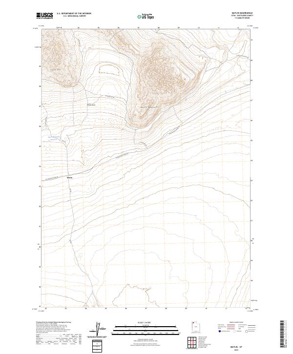
1971 Matlin
Box Elder County, UT
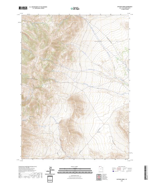
1971 Potters Creek
Box Elder County, UT
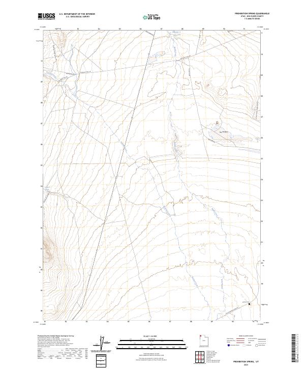
1971 Prohibition Spring
Box Elder County, UT
1971 Red Dome
Box Elder County, UT
1971 Rocky Pass Peak
Box Elder County, UT
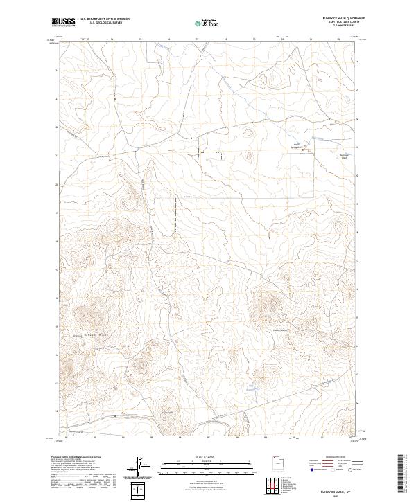
1971 Runswick Wash
Box Elder County, UT
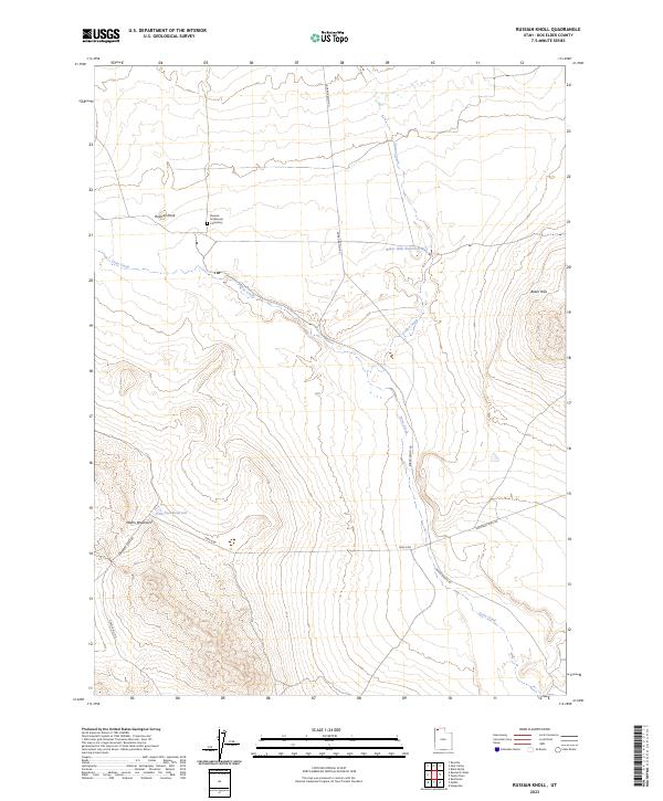
1971 Russian Knoll
Box Elder County, UT
1971 Toms Cabin Spring
Box Elder County, UT
1971 Warm Spring Hills
Box Elder County, UT
1972 Lampo Junction
Box Elder County, UT
1972 Mouth of Bear River
Box Elder County, UT
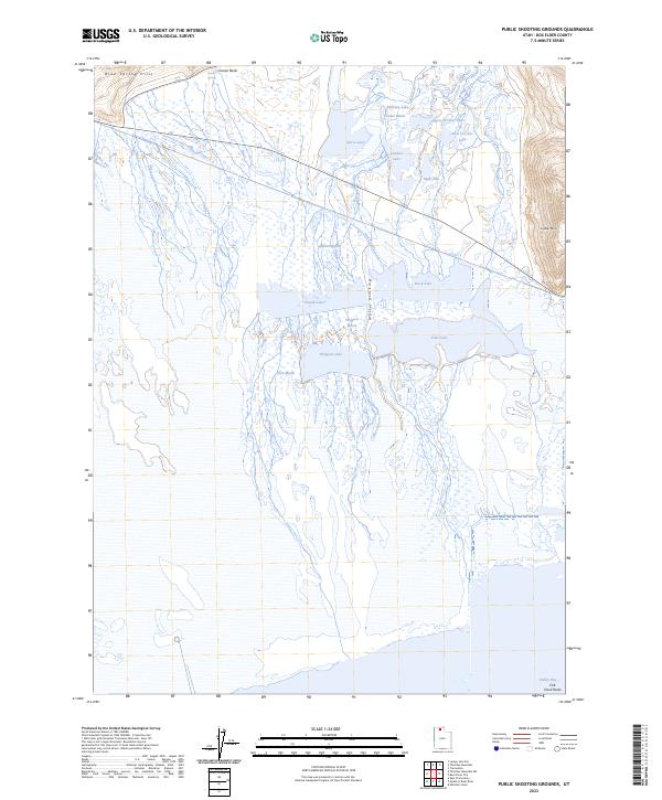
1972 Public Shooting Grounds
Box Elder County, UT
1972 Thatcher Mountain
Box Elder County, UT
1972 Whistler Canal
Box Elder County, UT
1972 Willard Spur
Box Elder County, UT
1983 Big Pass
Box Elder County, UT
1983 Bovine
Box Elder County, UT
1983 Bovine SE
Box Elder County, UT
1983 Desert Peak
Box Elder County, UT
1983 Groome
Box Elder County, UT
1983 Jackson
Box Elder County, UT
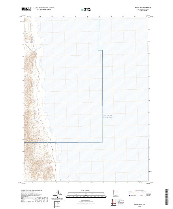
1983 Keller Well
Box Elder County, UT
1983 Lemay
Box Elder County, UT
1983 Lucin 4 NE
Box Elder County, UT
1983 Lucin 4 NW
Box Elder County, UT
1983 Lucin 4 SE
Box Elder County, UT
1983 Lucin 4 SW
Box Elder County, UT
1983 Meadow Spring
Box Elder County, UT
1983 Miners Basin
Box Elder County, UT
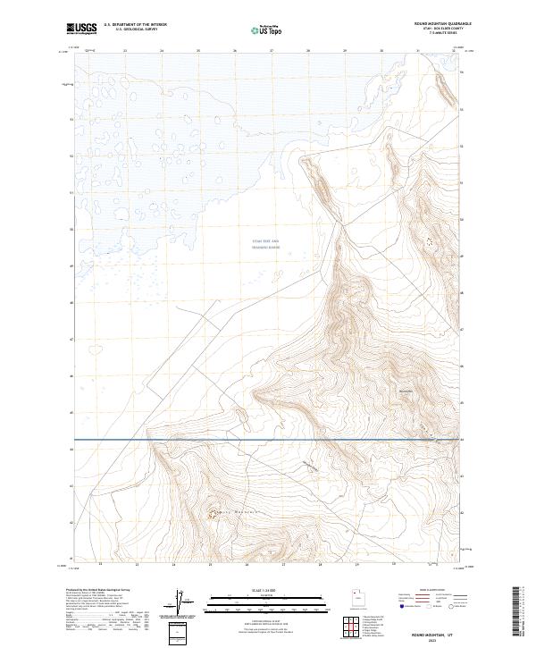
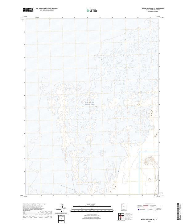
1983 Round Mountain
Box Elder County, UT
1983 Round Mountain NW
Box Elder County, UT
1983 Round Mountain SW
Box Elder County, UT
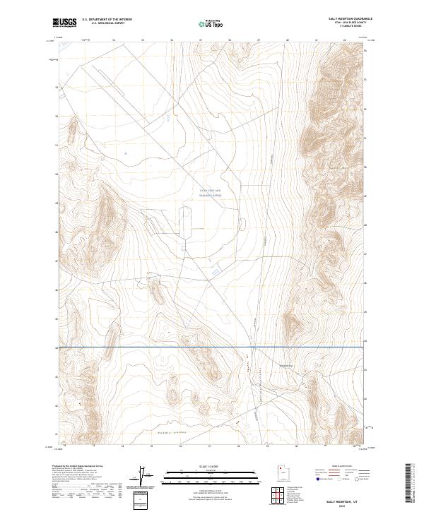
1983 Sally Mountain
Box Elder County, UT
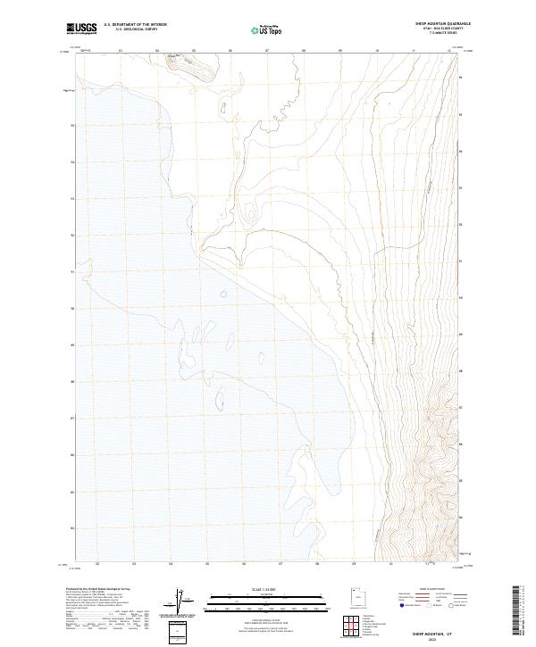
1983 Sheep Mountain
Box Elder County, UT
1983 Tangent Peak
Box Elder County, UT
1983 Terrace Mountain East
Box Elder County, UT
1983 Terrace Mountain West
Box Elder County, UT
1987 Grouse Creek
Box Elder County, UT

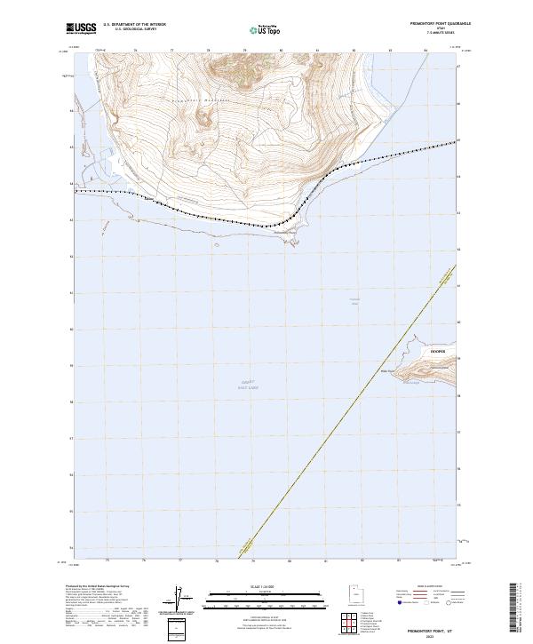
1987 Promontory Point
Box Elder County, UT
1988 Newfoundland Mountains
Box Elder County, UT
1989 Death Creek Reservoir
Box Elder County, UT
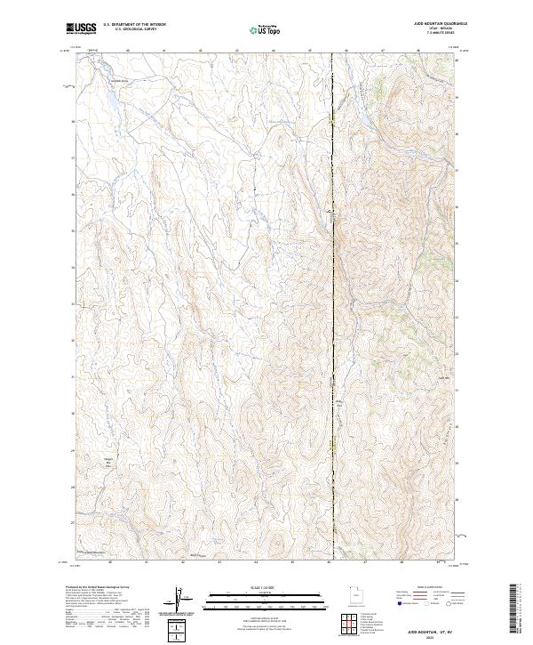
1989 Judd Mountain
Box Elder County, UT
1990 Black Butte
Box Elder County, UT
1990 Buck Hollow
Box Elder County, UT
1990 Cotton Thomas Basin
Box Elder County, UT
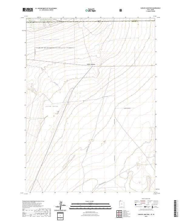
1990 Curlew Junction
Box Elder County, UT
1990 Dennis Hill
Box Elder County, UT
1990 Dry Canyon Mountain
Box Elder County, UT
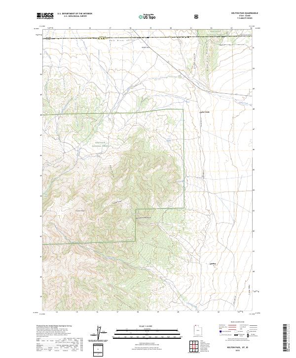
1990 Kelton Pass
Box Elder County, UT
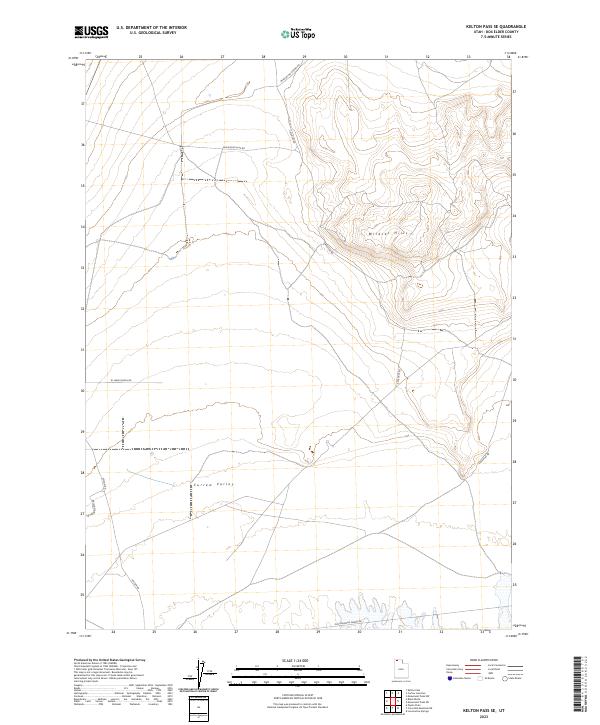
1990 Kelton Pass SE
Box Elder County, UT
1990 Kimbell Creek
Box Elder County, UT
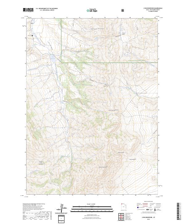
1990 Lynn Reservoir
Box Elder County, UT
1990 Park Valley
Box Elder County, UT
1990 Pole Creek
Box Elder County, UT
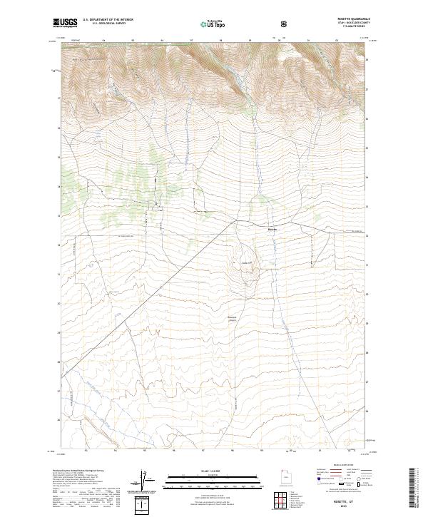
1990 Rosette
Box Elder County, UT
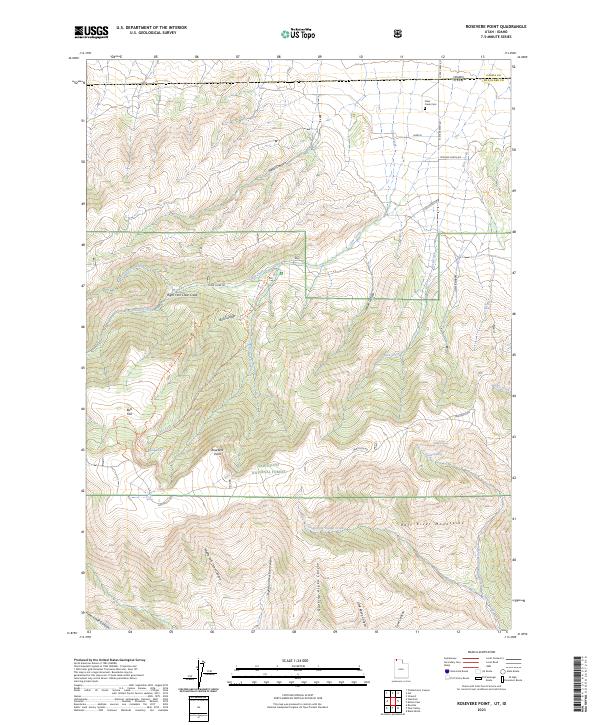
1990 Rosevere Point
Box Elder County, UT
1990 Standrod
Box Elder County, UT
1990 Yost
Box Elder County, UT
1991 Big Pass
Box Elder County, UT
1991 Bovine
Box Elder County, UT
1991 Bovine SE
Box Elder County, UT
1991 Carrington Island
Box Elder County, UT
1991 Carrington Island NE
Box Elder County, UT
1991 Carrington Island NW
Box Elder County, UT
1991 Carrington Island SW
Box Elder County, UT
1991 Crater Island
Box Elder County, UT
1991 Crater Island East
Box Elder County, UT
1991 Crater Island NW
Box Elder County, UT
1991 Crater Island SW
Box Elder County, UT
1991 Crocodile Mtn NE
Box Elder County, UT
1991 Crocodile Mtn SE
Box Elder County, UT
1991 Deardens Knoll
Box Elder County, UT
1991 Desert Peak
Box Elder County, UT
1991 Dolphin Island East
Box Elder County, UT
1991 Dolphin Island West
Box Elder County, UT
1991 East Promontory
Box Elder County, UT
1991 Emigrant Pass
Box Elder County, UT
1991 Groome
Box Elder County, UT
1991 Grouse Creek
Box Elder County, UT
1991 Gunnison Island
Box Elder County, UT
1991 Gunnison Island NE
Box Elder County, UT
1991 Gunnison Island SW
Box Elder County, UT
1991 Hogup Bar
Box Elder County, UT
1991 Hogup Ridge North
Box Elder County, UT
1991 Hogup Ridge South
Box Elder County, UT
1991 Indian Cove
Box Elder County, UT
1991 Ingham Canyon
Box Elder County, UT
1991 Jackson
Box Elder County, UT
1991 Keller Well
Box Elder County, UT
1991 Lake Side
Box Elder County, UT
1991 Lemay
Box Elder County, UT
1991 Lemay Island
Box Elder County, UT

1991 Lucin NE
Box Elder County, UT
1991 Matlin
Box Elder County, UT
1991 Meadow Spring
Box Elder County, UT
1991 Messix Peak
Box Elder County, UT
1991 Miners Basin
Box Elder County, UT
1991 Miry Wash
Box Elder County, UT
1991 Mouth of Bear River
Box Elder County, UT
1991 Peplin Flats
Box Elder County, UT
1991 Pigeon Mountain
Box Elder County, UT
1991 Pokes Point
Box Elder County, UT
1991 Potters Creek
Box Elder County, UT
1991 Prohibition Spring
Box Elder County, UT
1991 Promontory Point
Box Elder County, UT
1991 Red Dome
Box Elder County, UT
1991 Rocky Pass Peak
Box Elder County, UT
1991 Round Mountain
Box Elder County, UT
1991 Round Mountain NW
Box Elder County, UT
1991 Round Mountain SW
Box Elder County, UT
1991 Rozel Point
Box Elder County, UT
1991 Rozel Point SW
Box Elder County, UT
1991 Runswick Wash
Box Elder County, UT
1991 Russian Knoll
Box Elder County, UT
1991 Sally Mountain
Box Elder County, UT
1991 Sheep Mountain
Box Elder County, UT
1991 Strongs Knob
Box Elder County, UT
1991 Tangent Peak
Box Elder County, UT
1991 Terrace Mountain East
Box Elder County, UT
1991 Terrace Mountain West
Box Elder County, UT
1991 Toms Cabin Spring
Box Elder County, UT
1991 Warm Spring Hills
Box Elder County, UT
1991 West of Big Pass
Box Elder County, UT
1991 West of Miners Basin
Box Elder County, UT
1991 Whistler Canal
Box Elder County, UT
1991 Willard Spur
Box Elder County, UT
1992 Lucin
Box Elder County, UT
1992 Lucin NW
Box Elder County, UT
1998 Cutler Dam
Box Elder County, UT
2001 Buck Hollow
Box Elder County, UT
2001 Curlew Junction
Box Elder County, UT
2001 Dennis Hill
Box Elder County, UT
2001 Kelton Pass
Box Elder County, UT
2001 Lynn Reservoir
Box Elder County, UT
2001 Rosette
Box Elder County, UT
2001 Rosevere Point
Box Elder County, UT
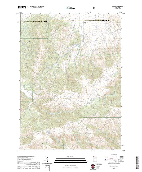
2001 Standrod
Box Elder County, UT
2001 Yost
Box Elder County, UT
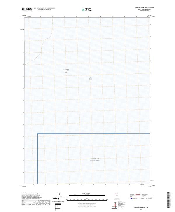
2023 Big Pass
Box Elder County, UT
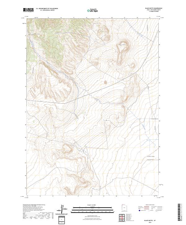
2023 Black Butte
Box Elder County, UT
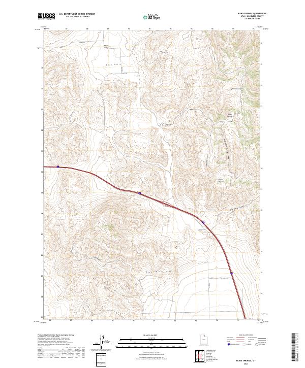
2023 Blind Springs
Box Elder County, UT
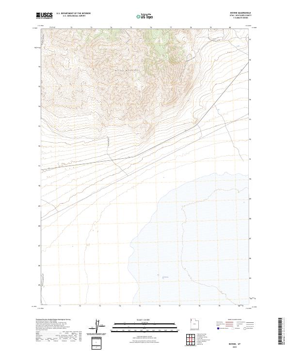
2023 Bovine
Box Elder County, UT
2023 Bovine SE
Box Elder County, UT
2023 Buck Hollow
Box Elder County, UT
2023 Bulls Pass
Box Elder County, UT
2023 Carrington Island
Box Elder County, UT
2023 Carrington Island NE
Box Elder County, UT
2023 Carrington Island NW
Box Elder County, UT
2023 Carrington Island SW
Box Elder County, UT
2023 Cotton Thomas Basin
Box Elder County, UT
2023 Coyote Point
Box Elder County, UT
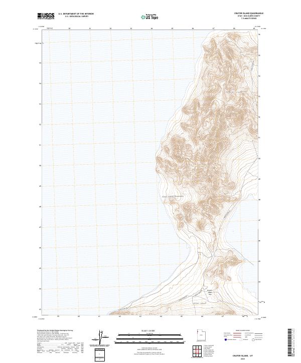
2023 Crater Island
Box Elder County, UT
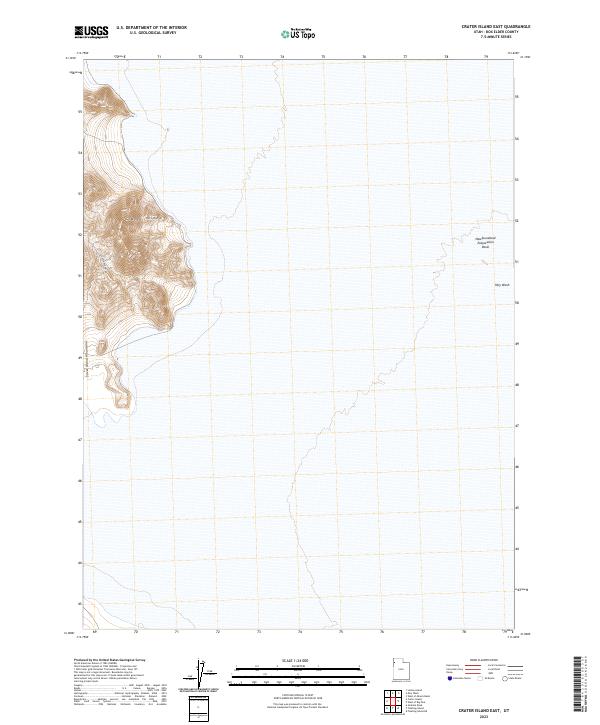
2023 Crater Island East
Box Elder County, UT
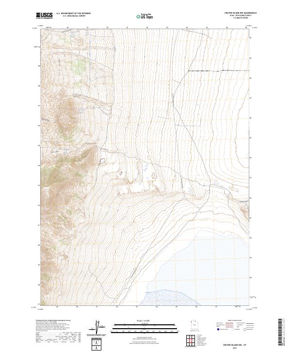
2023 Crater Island NW
Box Elder County, UT
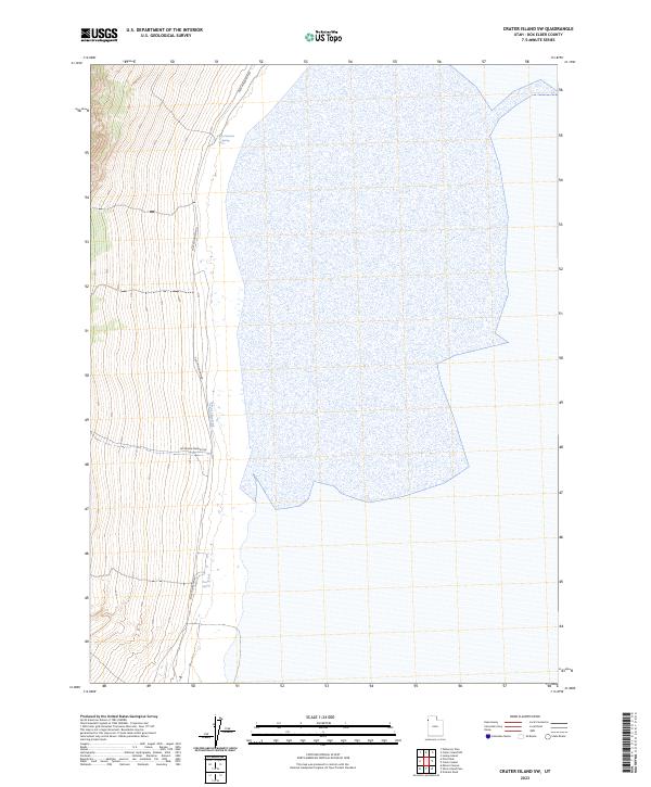
2023 Crater Island SW
Box Elder County, UT
2023 Crocodile Mountain NE
Box Elder County, UT
2023 Crocodile Mountain SE
Box Elder County, UT
2023 Curlew Junction
Box Elder County, UT
2023 Cutler Dam
Box Elder County, UT
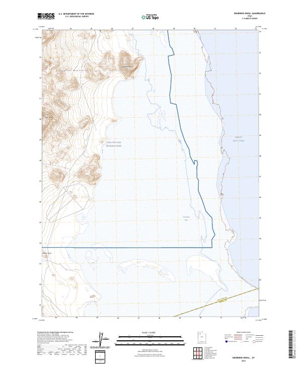
2023 Deardens Knoll
Box Elder County, UT
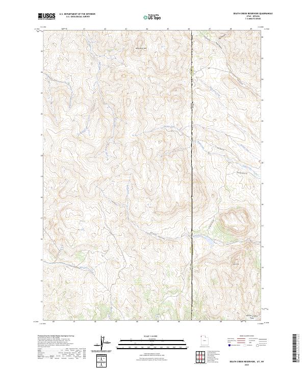
2023 Death Creek Reservoir
Box Elder County, UT
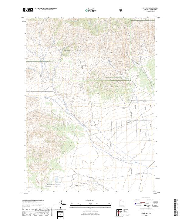
2023 Dennis Hill
Box Elder County, UT

2023 Desert Peak
Box Elder County, UT
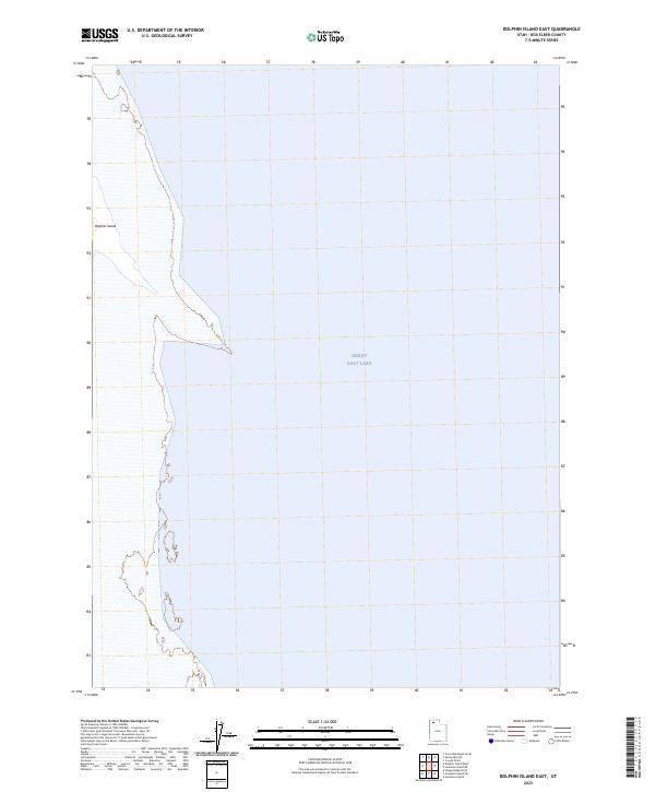
2023 Dolphin Island East
Box Elder County, UT
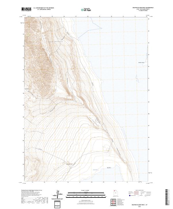
2023 Dolphin Island West
Box Elder County, UT
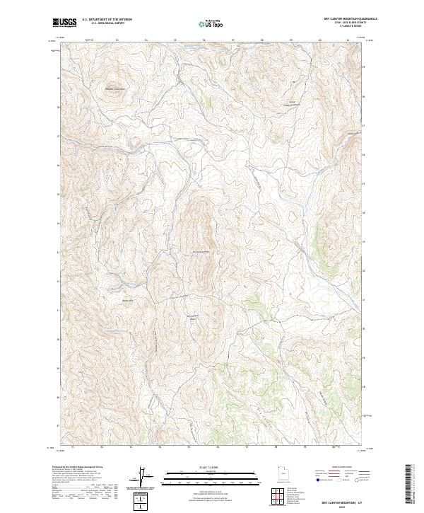
2023 Dry Canyon Mountain
Box Elder County, UT
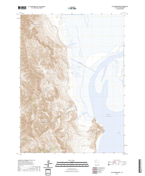
2023 East Promontory
Box Elder County, UT
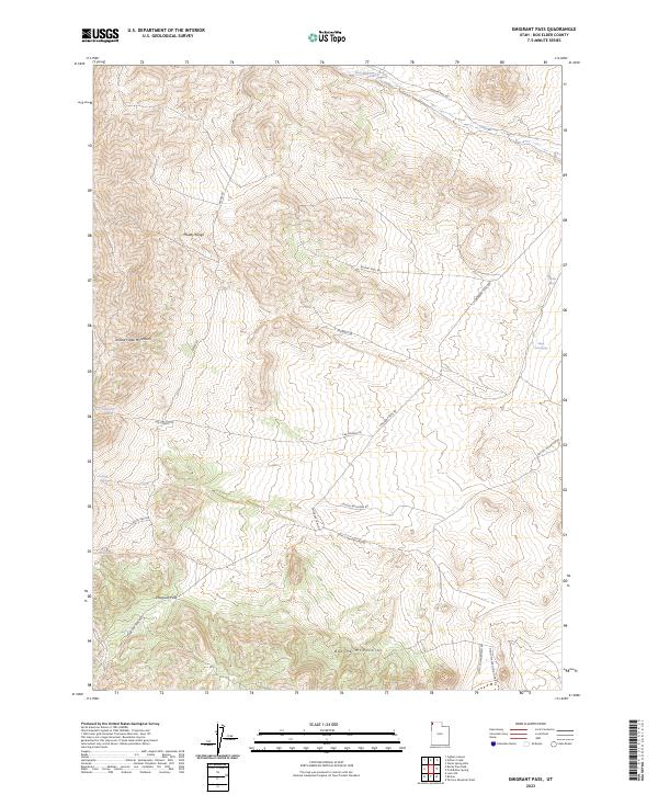
2023 Emigrant Pass
Box Elder County, UT
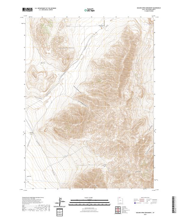
2023 Golden Spike Monument
Box Elder County, UT
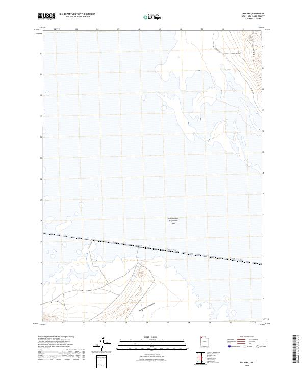
2023 Groome
Box Elder County, UT
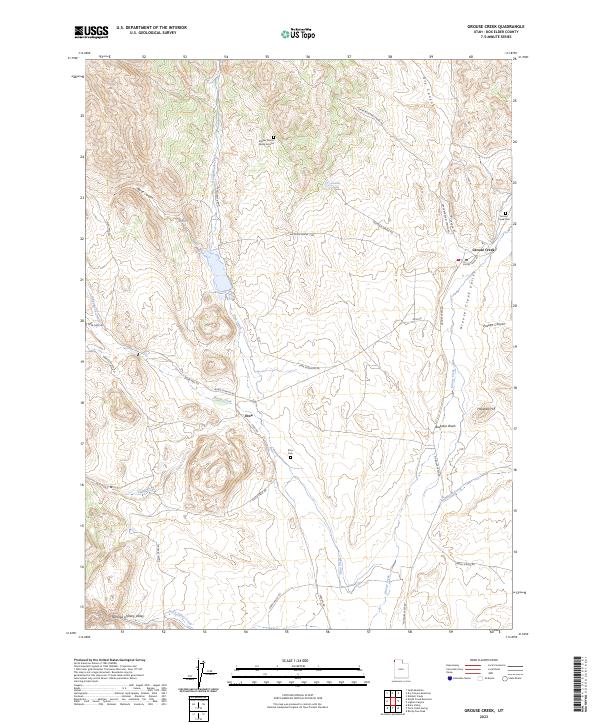
2023 Grouse Creek
Box Elder County, UT
2023 Gunnison Island
Box Elder County, UT
2023 Gunnison Island NE
Box Elder County, UT
2023 Gunnison Island SW
Box Elder County, UT
2023 Hogup Bar
Box Elder County, UT
2023 Hogup Ridge North
Box Elder County, UT
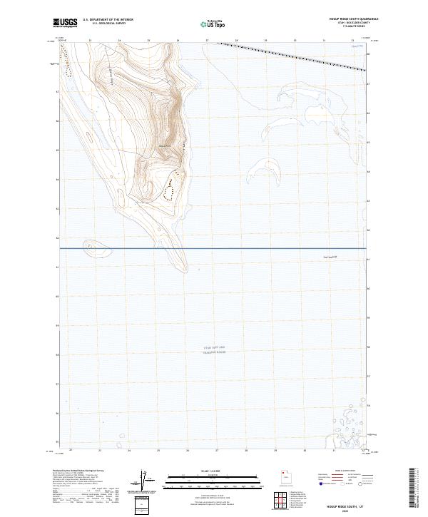
2023 Hogup Ridge South
Box Elder County, UT
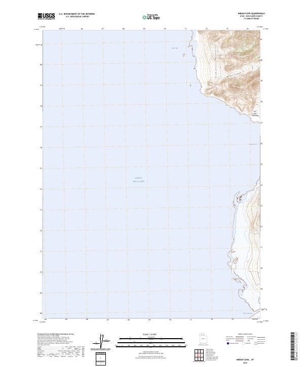
2023 Indian Cove
Box Elder County, UT
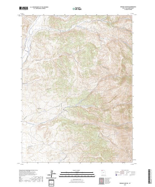
2023 Ingham Canyon
Box Elder County, UT
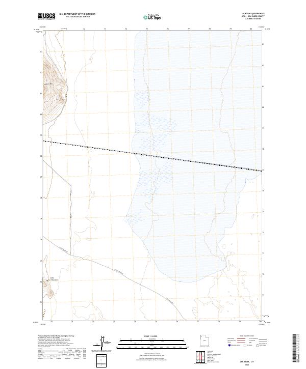
2023 Jackson
Box Elder County, UT
2023 Judd Mountain
Box Elder County, UT
2023 Keller Well
Box Elder County, UT
2023 Kelton Pass
Box Elder County, UT
2023 Kelton Pass SE
Box Elder County, UT
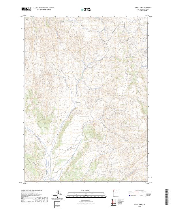
2023 Kimbell Creek
Box Elder County, UT
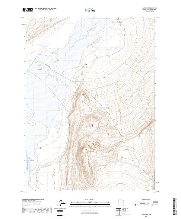
2023 Lake Ridge
Box Elder County, UT
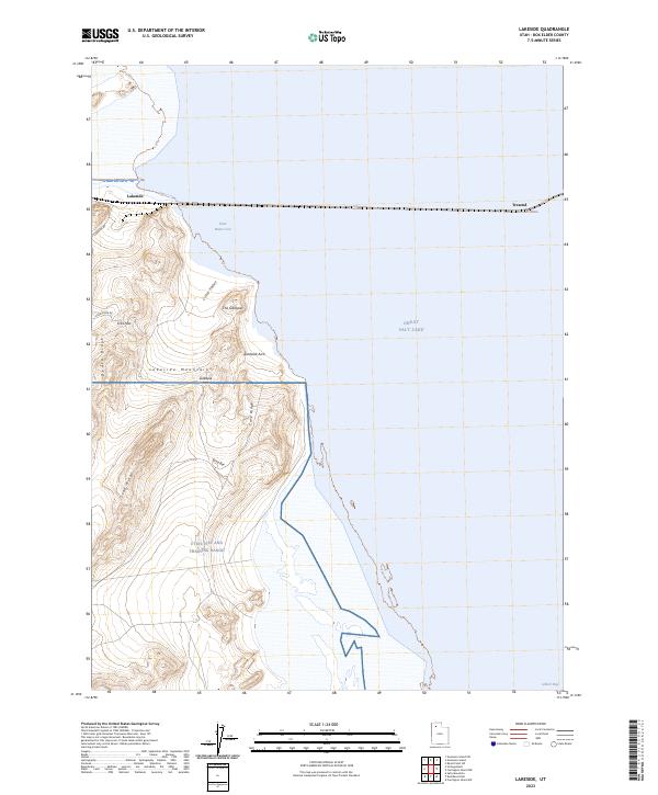
2023 Lakeside
Box Elder County, UT
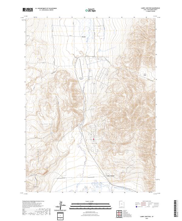
2023 Lampo Junction
Box Elder County, UT
2023 Lemay
Box Elder County, UT
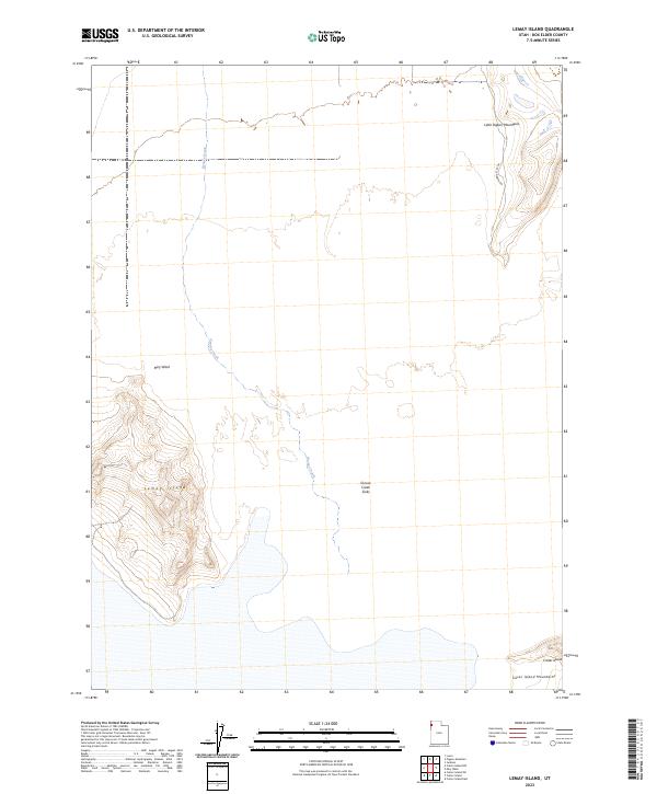
2023 Lemay Island
Box Elder County, UT
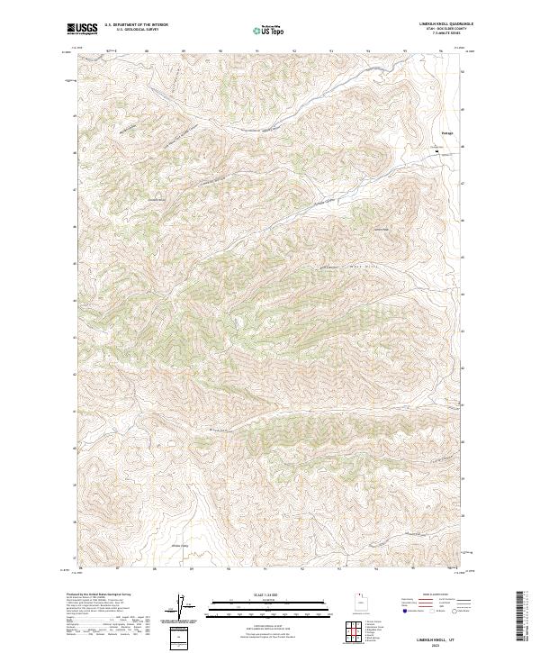
2023 Limekiln Knoll
Box Elder County, UT

2023 Locomotive Springs
Box Elder County, UT
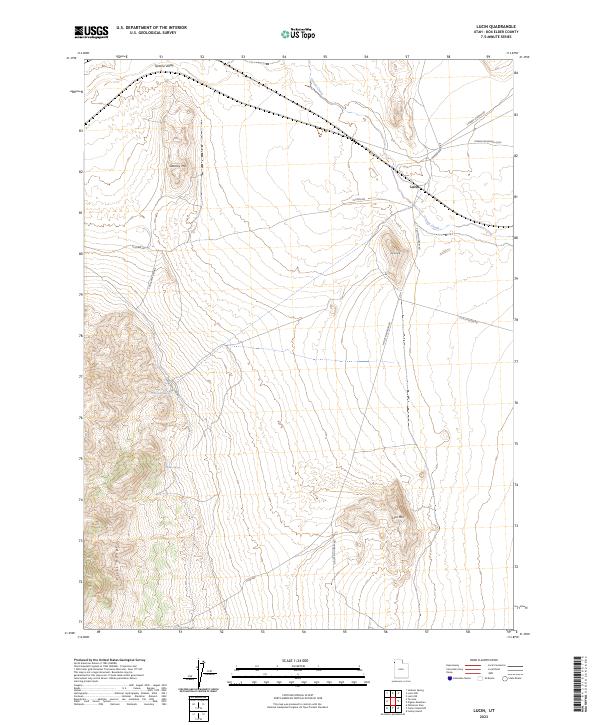
2023 Lucin
Box Elder County, UT
2023 Lucin NE
Box Elder County, UT
2023 Lucin NW
Box Elder County, UT
2023 Lynn Reservoir
Box Elder County, UT
2023 Matlin
Box Elder County, UT
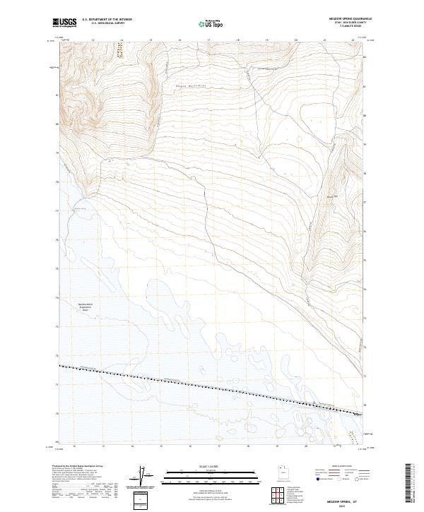
2023 Meadow Spring
Box Elder County, UT
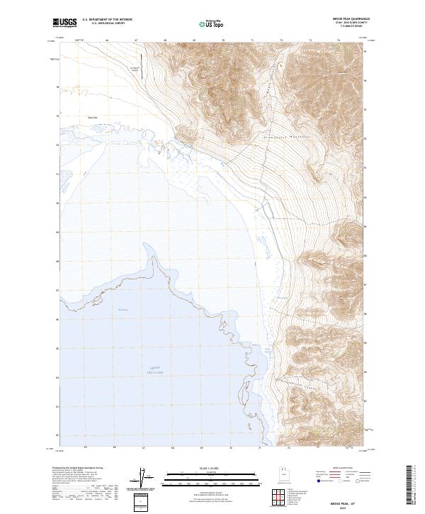
2023 Messix Peak
Box Elder County, UT
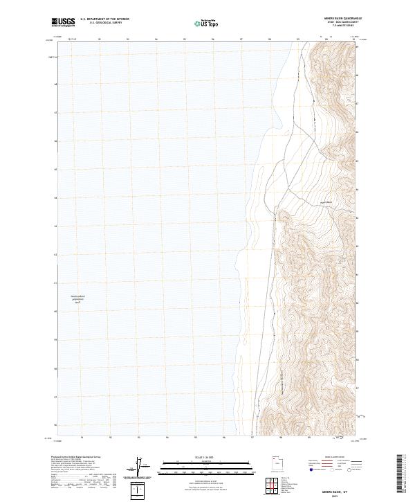
2023 Miners Basin
Box Elder County, UT
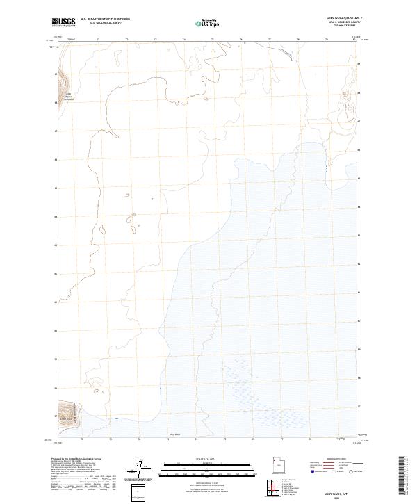
2023 Miry Wash
Box Elder County, UT
2023 Monument Peak
Box Elder County, UT
2023 Monument Peak NE
Box Elder County, UT
2023 Monument Peak NW
Box Elder County, UT
2023 Monument Peak SW
Box Elder County, UT
2023 Monument Point
Box Elder County, UT
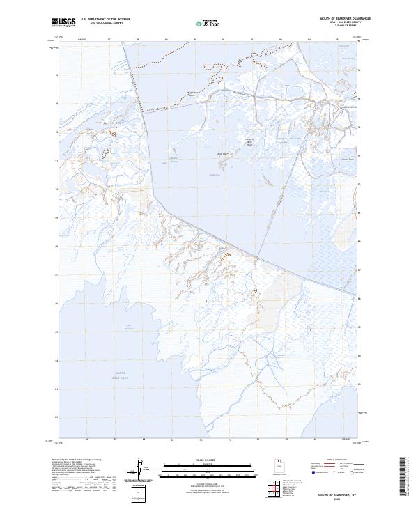
2023 Mouth of Bear River
Box Elder County, UT
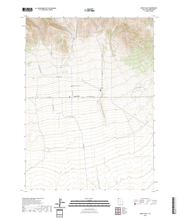
2023 Park Valley
Box Elder County, UT
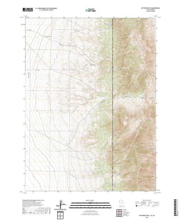
2023 Patterson Pass
Box Elder County, UT
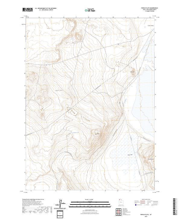
2023 Peplin Flats
Box Elder County, UT
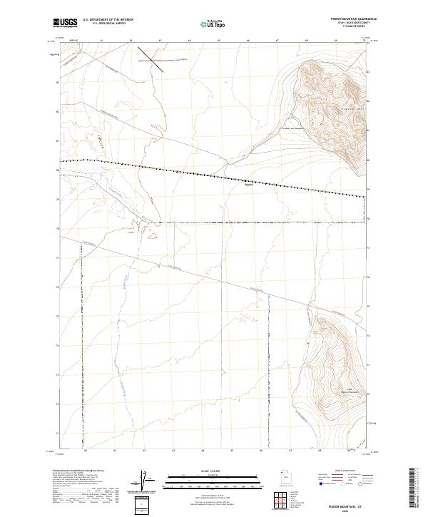
2023 Pigeon Mountain
Box Elder County, UT
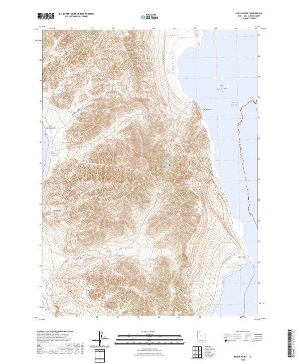
2023 Pokes Point
Box Elder County, UT
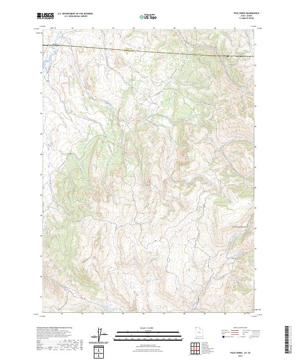
2023 Pole Creek
Box Elder County, UT
2023 Potters Creek
Box Elder County, UT
2023 Prohibition Spring
Box Elder County, UT
2023 Promontory Point
Box Elder County, UT
2023 Public Shooting Grounds
Box Elder County, UT
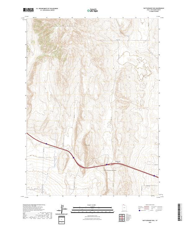
2023 Rattlesnake Pass
Box Elder County, UT
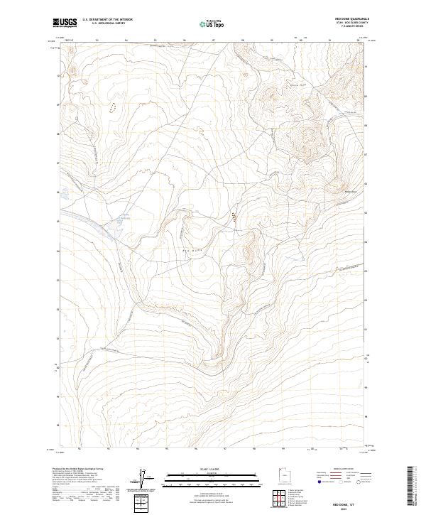
2023 Red Dome
Box Elder County, UT
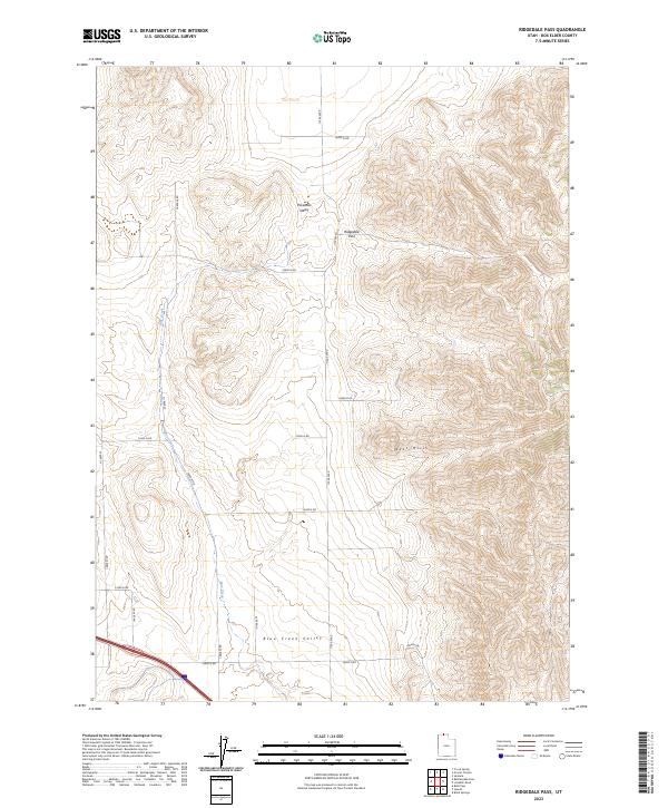
2023 Ridgedale Pass
Box Elder County, UT
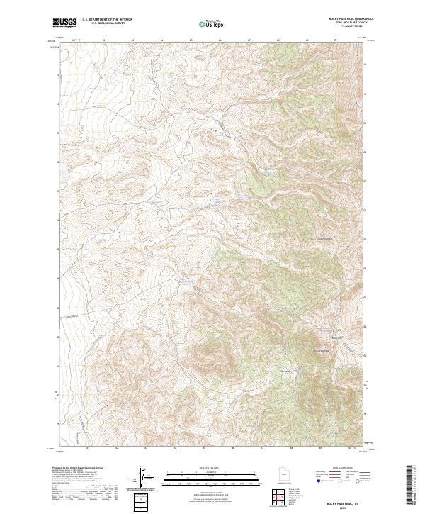
2023 Rocky Pass Peak
Box Elder County, UT
2023 Rosette
Box Elder County, UT
2023 Rosevere Point
Box Elder County, UT
2023 Round Mountain
Box Elder County, UT
2023 Round Mountain NW
Box Elder County, UT
2023 Round Mountain SW
Box Elder County, UT
2023 Rozel
Box Elder County, UT
2023 Rozel Point
Box Elder County, UT
2023 Rozel Point SW
Box Elder County, UT
2023 Runswick Wash
Box Elder County, UT
2023 Russian Knoll
Box Elder County, UT
2023 Sally Mountain
Box Elder County, UT
2023 Salt Wells
Box Elder County, UT
2023 Sheep Mountain
Box Elder County, UT
2023 Spring Bay SW
Box Elder County, UT
2023 Standrod
Box Elder County, UT
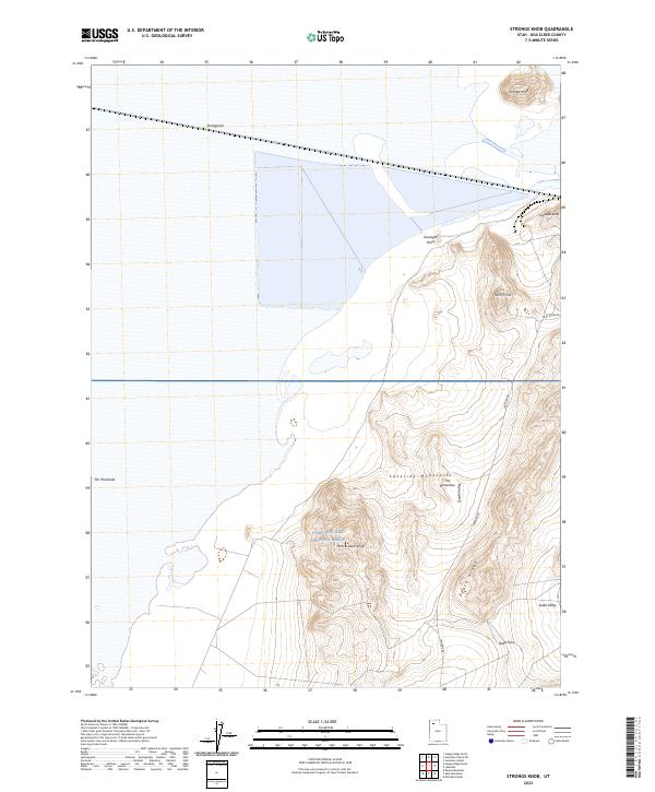
2023 Strongs Knob
Box Elder County, UT
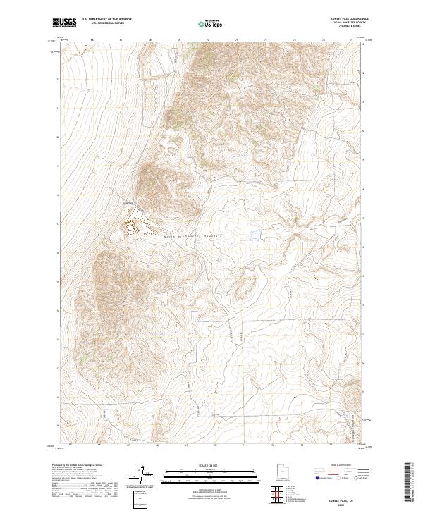
2023 Sunset Pass
Box Elder County, UT
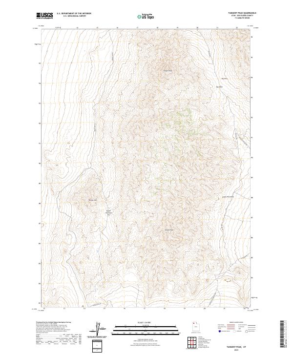
2023 Tangent Peak
Box Elder County, UT
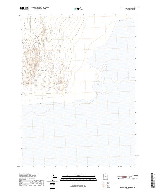
2023 Terrace Mountain East
Box Elder County, UT
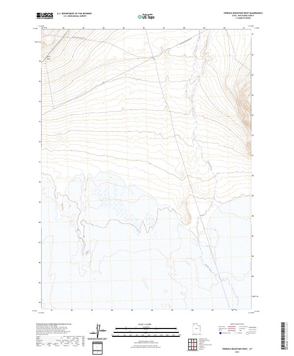
2023 Terrace Mountain West
Box Elder County, UT
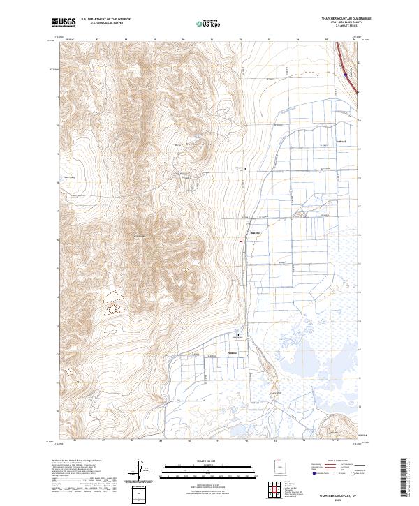
2023 Thatcher Mountain
Box Elder County, UT
2023 Thatcher Mountain SW
Box Elder County, UT
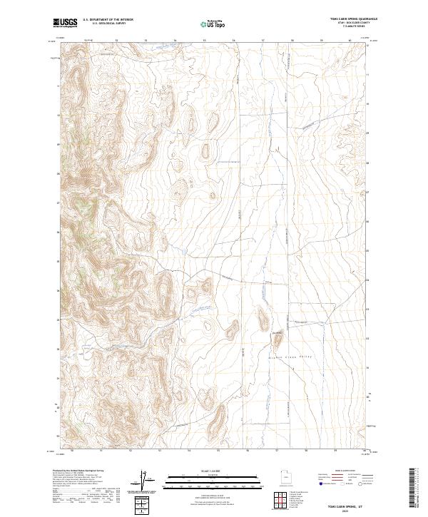
2023 Toms Cabin Spring
Box Elder County, UT
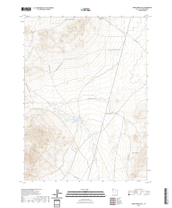
2023 Warm Spring Hills
Box Elder County, UT
2023 West of Big Pass
Box Elder County, UT
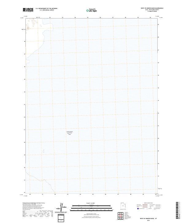
2023 West of Miners Basin
Box Elder County, UT
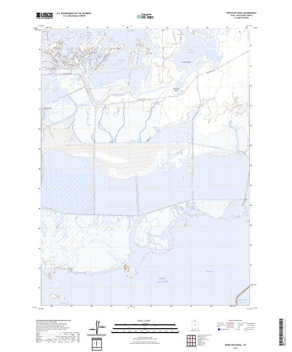
2023 Whistler Canal
Box Elder County, UT
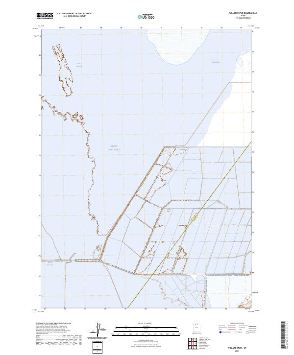
2023 Willard Spur
Box Elder County, UT
2023 Yost
Box Elder County, UT