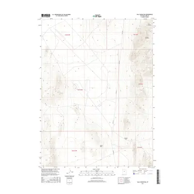
2017 Map of Sally Mountain
USGS Topo · Published 2017About this map
Puddle Valley occupies the center of this 2017 terrain study, a low-lying basin flanked by the northern reaches of the Lakeside Mountains. To the northeast, the topography rises sharply toward the summit of Sally Mountain, while Wrathall Pass provides a natural break in the ridgeline to the southeast. The landscape is defined by its isolation and geometric surveying, with township and range lines like t4n r10w and t5n r9w marking the desert floor. Lakeside Rd serves as the primary corridor through the valley, tracing a north-south path along the base of the mountains. This map documents a high-desert environment where transportation and topography are dictated by the steep vertical relief of the Great Basin's characteristically linear ranges.
Find a feature on this map
11 named features on this map. Tap any name to fly to it.
Don’t see what you’re looking for? This feature index may not catch every label — zoom into the map to look around manually.
Map Details
Editions of this 2017 Sally Mountain Map
This is the sole edition of this map. No revisions or reprints were ever made.
Other maps of this area

1885 · Tooele Valley
USGS Topo · 1:250,000

1953 · Tooele
USGS Topo · 1:250,000

1954 · Brigham City
USGS Topo · 1:250,000

1955 · Tooele
USGS Topo · 1:250,000

1958 · Brigham City
USGS Topo · 1:250,000

1962 · Brigham City
USGS Topo · 1:250,000

1968 · Deardens Knoll
USGS Topo · 1:24,000

1968 · Craner Peak
USGS Topo · 1:24,000

1969 · Hogup Ridge South
USGS Topo · 1:24,000

1969 · Strongs Knob
USGS Topo · 1:24,000