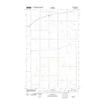
2010 Map of Salol
USGS Topo · Published 2010About this map
Salol serves as the central hub of this northern Roseau County landscape, anchored by the Salol Post Office near the intersection of 480th Ave and the railroad corridor. The area is defined by a grid of rural roads and drainage patterns, with Hay Creek winding through the northern portion while Cow Creek and Bear Creek cross the southern sections. This survey documents the local infrastructure of the early 21st century, illustrating how the agricultural layout is punctuated by community markers like Spruce Cemetery to the west and Fairview Cemetery further south. The land remains largely organized around section lines, reflected in the extensive network of county highways and numbered avenues that facilitate movement through this flat, open country.
Find a feature on this map
25 named features on this map. Tap any name to fly to it.
Don’t see what you’re looking for? This feature index may not catch every label — zoom into the map to look around manually.
Map Details
Editions of this 2010 Salol Map
This is the sole edition of this map. No revisions or reprints were ever made.
Other maps of this area

1918 · Goos
USGS Topo · 1:62,500

1918 · Pencer
USGS Topo · 1:62,500

1918 · Warroad
USGS Topo · 1:62,500

1943 · Goos
USGS Topo · 1:62,500

1943 · Warroad
USGS Topo · 1:62,500

1954 · Roseau
USGS Topo · 1:250,000

1957 · Roseau
USGS Topo · 1:250,000

1958 · Roseau
USGS Topo · 1:250,000

1966 · Salol NW
USGS Topo · 1:24,000

1966 · Malung
USGS Topo · 1:24,000