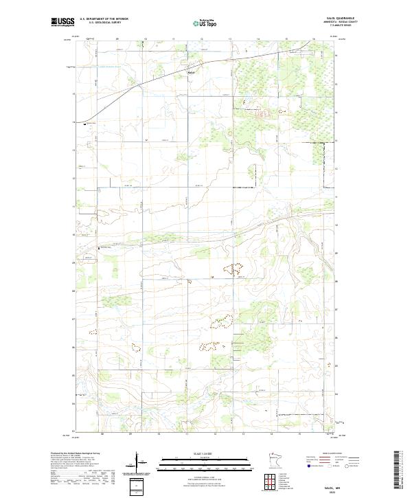
2022 Map of Salol
USGS Topo · Published 2022About this map
The settlement of Salol serves as a central point in this Roseau County landscape, defined by the grid of the Public Land Survey System. The terrain is marked by essential water management features like County Ditch Number Seven, which alongside Bear Cr and Cane Cr, illustrates the drainage patterns necessary for agricultural viability in this part of northern Minnesota. Genealogists and local historians will find significant landmarks in the western portion of the map, specifically Spruce Cem and Fairview Cem, which anchor the local community history. The region's transport network is a strict rectilinear grid of county roads and avenues, such as Co RD 9 and 470th Ave, facilitating movement between isolated farmsteads and the village center.
Find a feature on this map
29 named features on this map. Tap any name to fly to it.
Don’t see what you’re looking for? This feature index may not catch every label — zoom into the map to look around manually.
Map Details
Editions of this 2022 Salol Map
This is the sole edition of this map. No revisions or reprints were ever made.
Other maps of this area

1918 · Goos
USGS Topo · 1:62,500

1918 · Pencer
USGS Topo · 1:62,500

1918 · Warroad
USGS Topo · 1:62,500

1943 · Goos
USGS Topo · 1:62,500

1943 · Warroad
USGS Topo · 1:62,500

1954 · Roseau
USGS Topo · 1:250,000

1957 · Roseau
USGS Topo · 1:250,000

1958 · Roseau
USGS Topo · 1:250,000

1966 · Salol NW
USGS Topo · 1:24,000

1966 · Malung
USGS Topo · 1:24,000