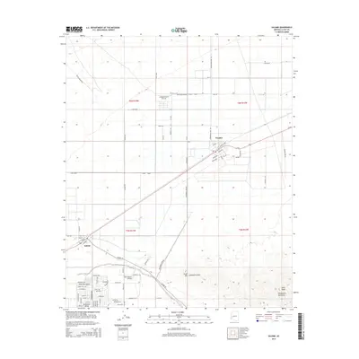
2014 Map of Salome
USGS Topo · Published 2014About this map
Salome and Wenden anchor this desert landscape in the McMullen Valley, showing a classic Arizona pattern of rail-aligned settlements and modern aviation infrastructure. The town of Salome, established near the Salome Wash, is shown alongside the neighboring Harrisburg Valley residential expansion. The map details a transition from traditional land use to recreational and private flight hubs, evidenced by the Indian Hills Airpark and the Outback Ranch Airstrip. Steep desert topography rises to the south and east with the Harquahala Mountains and South Mtn, where a Landmark Letter is visible on the slope above the valley floor. Transportation corridors like Salome Rd and Cunningham Pass Rd connect these remote outposts, tracing the routes that defined the area's growth through the late twentieth century.
Find a feature on this map
72 named features on this map. Tap any name to fly to it.
Don’t see what you’re looking for? This feature index may not catch every label — zoom into the map to look around manually.
Map Details
Editions of this 2014 Salome Map
This is the sole edition of this map. No revisions or reprints were ever made.
Other maps of this area

1942 · Vicksburg
USGS Topo · 1:250,000

1954 · Phoenix
USGS Topo · 1:250,000

1957 · Phoenix
USGS Topo · 1:250,000

1958 · Phoenix
USGS Topo · 1:250,000

1960 · Phoenix
USGS Topo · 1:250,000

1961 · Salome
USGS Topo · 1:62,500

1961 · Hope
USGS Topo · 1:62,500

1961 · Lone Mountain
USGS Topo · 1:62,500

1961 · Gladden
USGS Topo · 1:62,500

1969 · Phoenix
USGS Topo · 1:250,000