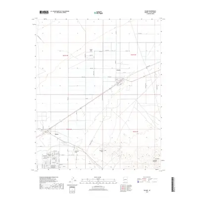
2018 Map of Salome
USGS Topo · Published 2018About this map
Salome and Wenden serve as the primary anchors of this desert landscape in La Paz County, positioned along the transportation corridor between the Harquahala Mountains and the northern flats. The grid-like residential development of Indian Hills Airpark highlights the region's specialized aviation-integrated living, while the surrounding Harrisburg Valley maintains a rural character defined by agricultural roads like Farm Rd and Lindsey Rd. The arid terrain is shaped by the wide path of Salome Wash, which cuts through the valley floor toward the south. To the east, the topography rises sharply at Twin Peaks, while the Landmark S Mtn Letter provides a distinct visual identifier on the slopes. Remote infrastructure, such as the Outback Ranch Airstrip and various canal banks, indicates the complex water and transit systems required to sustain these communities within the basin.
Find a feature on this map
51 named features on this map. Tap any name to fly to it.
Don’t see what you’re looking for? This feature index may not catch every label — zoom into the map to look around manually.
Map Details
Editions of this 2018 Salome Map
This is the sole edition of this map. No revisions or reprints were ever made.
Other maps of this area

1942 · Vicksburg
USGS Topo · 1:250,000

1954 · Phoenix
USGS Topo · 1:250,000

1957 · Phoenix
USGS Topo · 1:250,000

1958 · Phoenix
USGS Topo · 1:250,000

1960 · Phoenix
USGS Topo · 1:250,000

1961 · Salome
USGS Topo · 1:62,500

1961 · Hope
USGS Topo · 1:62,500

1961 · Lone Mountain
USGS Topo · 1:62,500

1961 · Gladden
USGS Topo · 1:62,500

1969 · Phoenix
USGS Topo · 1:250,000