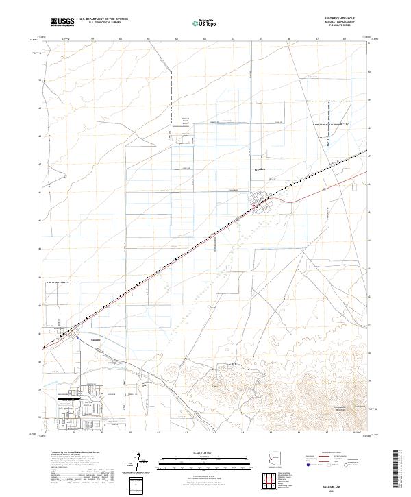
2021 Map of Salome
USGS Topo · Published 2021About this map
Salome and Wenden serve as the primary hubs in this desert landscape, positioned along the vital corridor of the BNSF Railway. The mapping reveals a distinct transition between the organized agricultural and residential grids of the basin and the natural rise of the Harquahala Mountains to the southeast. Private aviation plays a visible role in the local infrastructure, with both the Outback Ranch Airstrip and Indian Hills Airpark established north and south of the main settlements.
Find a feature on this map
67 named features on this map. Tap any name to fly to it.
Don’t see what you’re looking for? This feature index may not catch every label — zoom into the map to look around manually.
Map Details
Editions of this 2021 Salome Map
This is the sole edition of this map. No revisions or reprints were ever made.
Other maps of this area

1942 · Vicksburg
USGS Topo · 1:250,000

1954 · Phoenix
USGS Topo · 1:250,000

1957 · Phoenix
USGS Topo · 1:250,000

1958 · Phoenix
USGS Topo · 1:250,000

1960 · Phoenix
USGS Topo · 1:250,000

1961 · Salome
USGS Topo · 1:62,500

1961 · Hope
USGS Topo · 1:62,500

1961 · Lone Mountain
USGS Topo · 1:62,500

1961 · Gladden
USGS Topo · 1:62,500

1969 · Phoenix
USGS Topo · 1:250,000