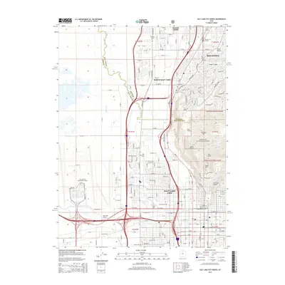
2014 Map of Salt Lake City North
USGS Topo · Published 2014About this map
Salt Lake City and the Salt Lake Valley are defined here by the intersection of high mountain terrain and industrial valley floors. The urban grid extends from the city center toward the Wasatch National Forest, where steep canyons like Hell Canyon and City Creek Canyon descend toward the residential core. This 2014 survey documents the modern footprint of the region's capital, including the sprawling complex of the Salt Lake City International Airport and the Utah State Fairpark.
Find a feature on this map
63 named features on this map. Tap any name to fly to it.
Don’t see what you’re looking for? This feature index may not catch every label — zoom into the map to look around manually.
Map Details
Editions of this 2014 Salt Lake City North Map
This is the sole edition of this map. No revisions or reprints were ever made.
Other maps of this area

1885 · Salt Lake
USGS Topo · 1:250,000

1885 · Tooele Valley
USGS Topo · 1:250,000

1925 · Ft. Douglas
USGS Topo · 1:125,000

1928 · Ft. Douglas
USGS Topo · 1:125,000

1950 · Fort Douglas
USGS Topo · 1:24,000

1951 · Fort Douglas
USGS Topo · 1:24,000

1951 · Saltair
USGS Topo · 1:24,000

1951 · Salt Lake City South
USGS Topo · 1:24,000

1951 · Salt Lake City North
USGS Topo · 1:24,000

1952 · Saltair NE
USGS Topo · 1:24,000