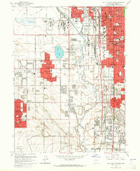
1963 Map of Salt Lake City South
USGS Topo · Published 1965About this map
The Jordan River corridor serves as the primary axis for this 1960s study of the Salt Lake Valley, where rapid postwar suburbanization is visible in the growing footprints of Kearns, Granger, and Taylorsville. The landscape is a complex network of water management and transportation, featuring the Surplus Canal and Utah and Salt Lake Canal alongside the heavy rail infrastructure of the Union Pacific and the Denver and Rio Grande Western railroads.
Find a feature on this map
114 named features on this map. Tap any name to fly to it.
Don’t see what you’re looking for? This feature index may not catch every label — zoom into the map to look around manually.
Map Details
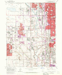
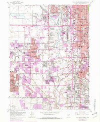
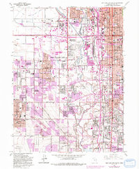
Editions of this 1963 Salt Lake City South Map
4 editions found
Other maps of this area

1885 · Salt Lake
USGS Topo · 1:250,000

1885 · Tooele Valley
USGS Topo · 1:250,000

1925 · Ft. Douglas
USGS Topo · 1:125,000

1928 · Ft. Douglas
USGS Topo · 1:125,000

1950 · Fort Douglas
USGS Topo · 1:24,000

1951 · Fort Douglas
USGS Topo · 1:24,000

1951 · Saltair
USGS Topo · 1:24,000

1951 · Salt Lake City South
USGS Topo · 1:24,000

1951 · Midvale
USGS Topo · 1:24,000

1951 · Salt Lake City North
USGS Topo · 1:24,000