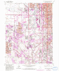
1963 Map of Salt Lake City South
USGS Topo · Published 1993About this map
Salt Lake City and its expanding southern suburbs appear in a period of significant post-war growth, characterized by a dense network of canals and emerging residential subdivisions. The landscape is defined by the Jordan River and a complex hydraulic system including the Surplus Canal and the Salt Lake City Canal, which supported the valley's development. Local history is recorded through numerous educational landmarks such as Granite High Sch and Oquirrh Hills Sch, alongside institutional anchors like the County Hospital and Cottonwood Hospital.
Find a feature on this map
67 named features on this map. Tap any name to fly to it.
Don’t see what you’re looking for? This feature index may not catch every label — zoom into the map to look around manually.
Map Details
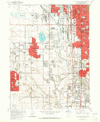
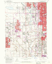
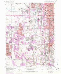
Editions of this 1963 Salt Lake City South Map
4 editions found
Other maps of this area

1885 · Salt Lake
USGS Topo · 1:250,000

1885 · Tooele Valley
USGS Topo · 1:250,000

1925 · Ft. Douglas
USGS Topo · 1:125,000

1928 · Ft. Douglas
USGS Topo · 1:125,000

1950 · Fort Douglas
USGS Topo · 1:24,000

1951 · Fort Douglas
USGS Topo · 1:24,000

1951 · Saltair
USGS Topo · 1:24,000

1951 · Salt Lake City South
USGS Topo · 1:24,000

1951 · Midvale
USGS Topo · 1:24,000

1951 · Salt Lake City North
USGS Topo · 1:24,000