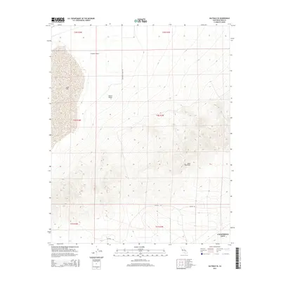
2015 Map of Saltdale SE
USGS Topo · Published 2015About this map
Rand Mountains rise abruptly from the desert floor in this 2015 survey of Kern County. The map captures a stark arid landscape where the eastern edges of California City meet the vast, open terrain of the Mojave Desert. To the northwest, the dry bed of Koehn Lake sits within the Fremont Valley, a significant topographical depression that historically serves as a terminal basin for local drainage. The sparse network of desert tracks, including Butterfield Ranch Rd and Bucknell Rd, underscores the transitional nature of this area, shifting from planned residential outskirts into the uninhabited slopes of the Rands. This edition provides a precise look at the township and range divisions across the high desert before further 21st-century development.
Find a feature on this map
14 named features on this map. Tap any name to fly to it.
Don’t see what you’re looking for? This feature index may not catch every label — zoom into the map to look around manually.
Map Details
Editions of this 2015 Saltdale SE Map
This is the sole edition of this map. No revisions or reprints were ever made.
Other maps of this area

1903 · Randsburg
USGS Topo · 1:62,500

1911 · Randsburg
USGS Topo · 1:62,500

1912 · Randsburg
USGS Topo · 1:62,500

1915 · Searles Lake
USGS Topo · 1:250,000

1943 · Saltdale
USGS Topo · 1:62,500

1943 · Castle Butte
USGS Topo · 1:62,500

1947 · Castle Butte
USGS Topo · 1:50,000

1947 · Trona
USGS Topo · 1:250,000

1948 · Trona
USGS Topo · 1:250,000

1953 · Trona
USGS Topo · 1:250,000