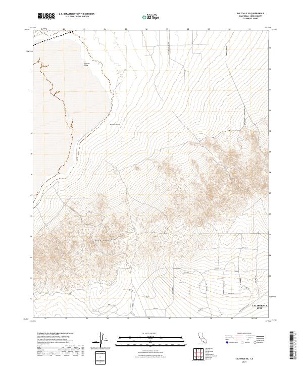
2021 Map of Saltdale SE
USGS Topo · Published 2021About this map
The northern reaches of California City stretch into the high desert landscape documented in this 2021 topographic record. The map reveals an intentional grid of residential streets like W Point Blvd, Piedmont St, and Bucknell RD as they push toward the base of the Rand Mountains. This planned urban expansion meets the open terrain of the Mojave Desert and the Fremont Valley in a clear demonstration of modern desert development patterns.
Find a feature on this map
32 named features on this map. Tap any name to fly to it.
Don’t see what you’re looking for? This feature index may not catch every label — zoom into the map to look around manually.
Map Details
Editions of this 2021 Saltdale SE Map
This is the sole edition of this map. No revisions or reprints were ever made.
Other maps of this area

1903 · Randsburg
USGS Topo · 1:62,500

1911 · Randsburg
USGS Topo · 1:62,500

1912 · Randsburg
USGS Topo · 1:62,500

1915 · Searles Lake
USGS Topo · 1:250,000

1943 · Saltdale
USGS Topo · 1:62,500

1943 · Castle Butte
USGS Topo · 1:62,500

1947 · Castle Butte
USGS Topo · 1:50,000

1947 · Trona
USGS Topo · 1:250,000

1948 · Trona
USGS Topo · 1:250,000

1953 · Trona
USGS Topo · 1:250,000