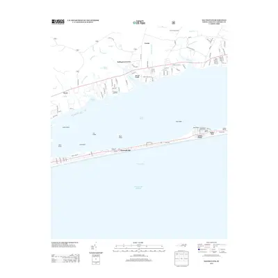
2013 Map of Salter Path
USGS Topo · Published 2013About this map
Bogue Sound separates the coastal barrier island from the mainland in this detailed 2013 survey of the North Carolina coast. The narrow strip of land between Onslow Bay and the sound features the distinct communities of Salter Path, Indian Beach, and Emerald Isle, where development is concentrated along the shoreline. Numerous small islands, including Cat Island, Wood Island, and Bean Island, dot the protected waters of the sound, illustrating the complex maritime geography of the region.
Find a feature on this map
107 named features on this map. Tap any name to fly to it.
Don’t see what you’re looking for? This feature index may not catch every label — zoom into the map to look around manually.
Map Details
Editions of this 2013 Salter Path Map
This is the sole edition of this map. No revisions or reprints were ever made.
Other maps of this area

1942 · Maysville
USGS Topo · 1:62,500

1942 · Swansboro
USGS Topo · 1:62,500

1948 · Maysville
USGS Topo · 1:62,500

1948 · Swansboro
USGS Topo · 1:62,500

1949 · Newport
USGS Topo · 1:24,000

1949 · Salter Path
USGS Topo · 1:24,000

1949 · Mansfield
USGS Topo · 1:24,000

1949 · Masontown
USGS Topo · 1:24,000

1951 · Salter Path
USGS Topo · 1:24,000

1951 · Newport
USGS Topo · 1:24,000