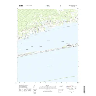
2019 Map of Salter Path
USGS Topo · Published 2019About this map
The Bogue Banks barrier island system anchors this coastal survey, where the communities of Emerald Isle, Indian Beach, and Salter Path sit narrowly between Onslow Bay and Bogue Sound. The island's geography is defined by its thin profile and the Outer Banks character, providing a natural buffer for the mainland shore. Across the water, the southern reaches of the Croatan National Forest dominate the landscape, characterized by numerous creek prongs and forest routes such as Forest Rte 123.
Find a feature on this map
86 named features on this map. Tap any name to fly to it.
Don’t see what you’re looking for? This feature index may not catch every label — zoom into the map to look around manually.
Map Details
Editions of this 2019 Salter Path Map
This is the sole edition of this map. No revisions or reprints were ever made.
Other maps of this area

1942 · Maysville
USGS Topo · 1:62,500

1942 · Swansboro
USGS Topo · 1:62,500

1948 · Maysville
USGS Topo · 1:62,500

1948 · Swansboro
USGS Topo · 1:62,500

1949 · Newport
USGS Topo · 1:24,000

1949 · Salter Path
USGS Topo · 1:24,000

1949 · Mansfield
USGS Topo · 1:24,000

1949 · Masontown
USGS Topo · 1:24,000

1951 · Salter Path
USGS Topo · 1:24,000

1951 · Newport
USGS Topo · 1:24,000