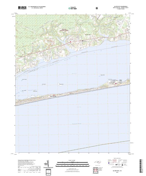
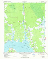
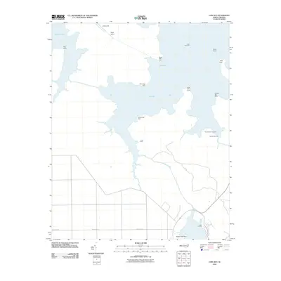
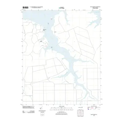
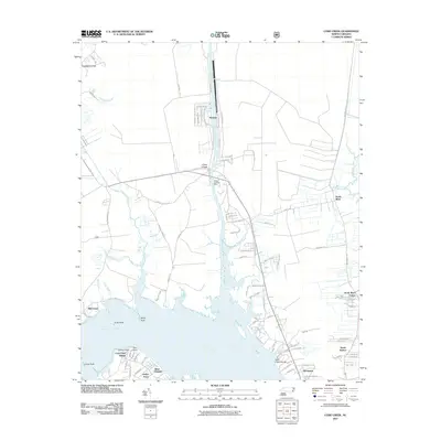
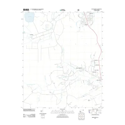
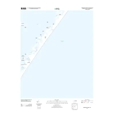
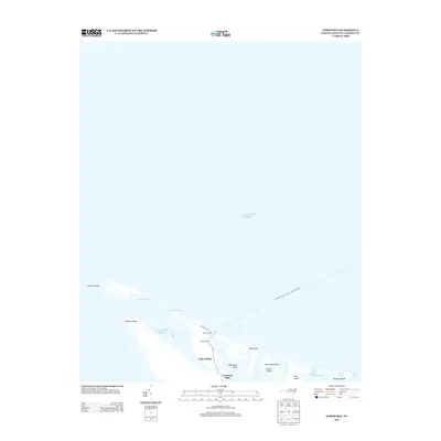
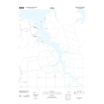
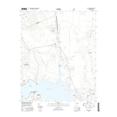
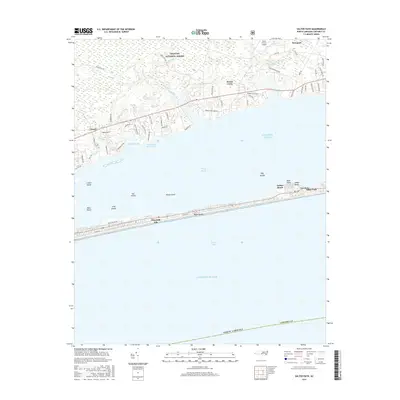
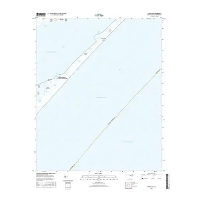
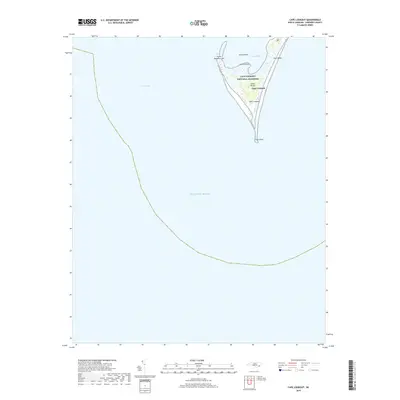
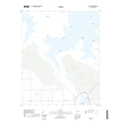
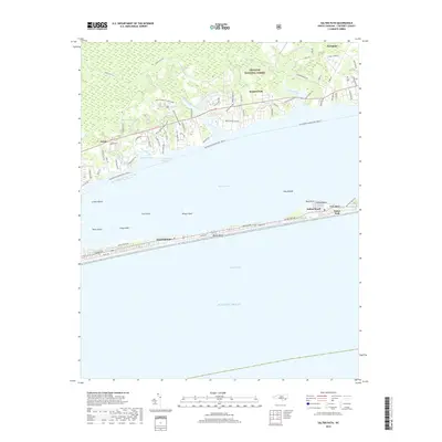
2022 Map of Salter Path
USGS Topo · Published 2022About this map
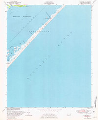
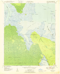
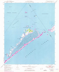
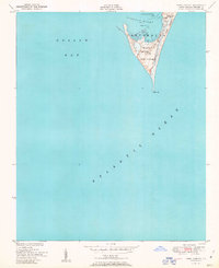
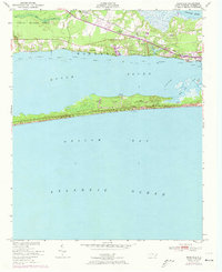
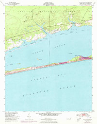
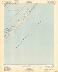
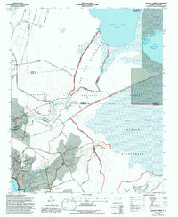
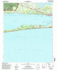
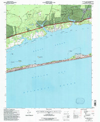
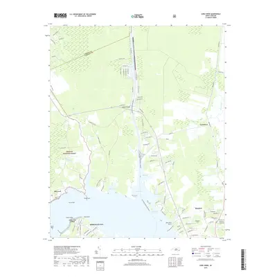
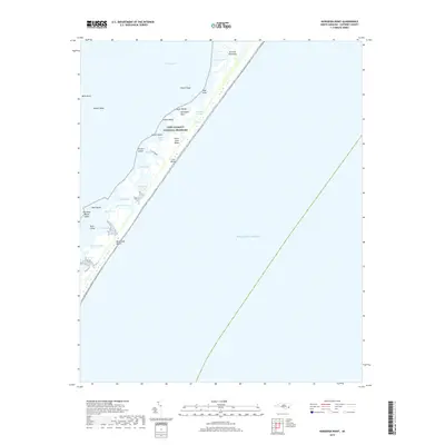
Bogue Banks stretches between the Atlantic Ocean and Bogue Sound, revealing a modern landscape of coastal settlements and conservation areas. This barrier island geography is defined by the proximity of Emerald Isle, Indian Beach, and the community of Salter Path. Across the Intracoastal Waterway, the mainland terrain transitions into the dense woodlands of the Croatan National Forest, where smaller water bodies like Patsy Pond and the tributaries of Broad Creek shape the low-lying environment.
Find a feature on this map
86 named features on this map. Tap any name to fly to it.
Don’t see what you’re looking for? This feature index may not catch every label — zoom into the map to look around manually.
Map Details
Editions of this 2022 Salter Path Map
This is the sole edition of this map. No revisions or reprints were ever made.
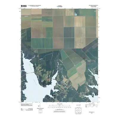
Historical Maps of Newport Through Time
111 maps found

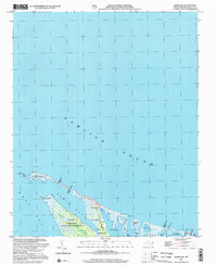
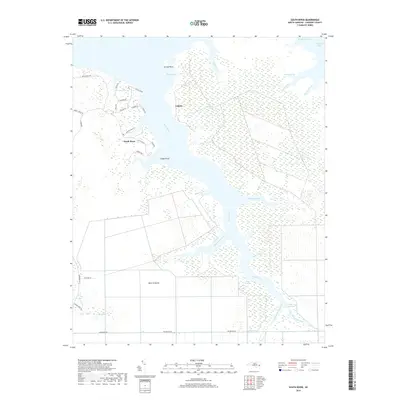
1948 North Bay
Carteret County, NC
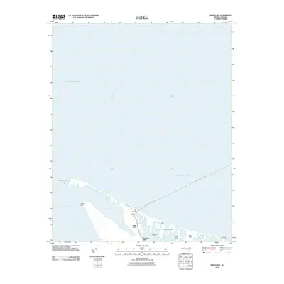
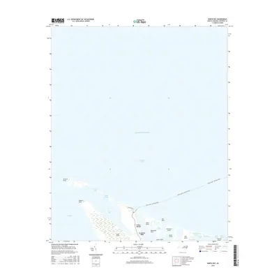
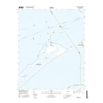
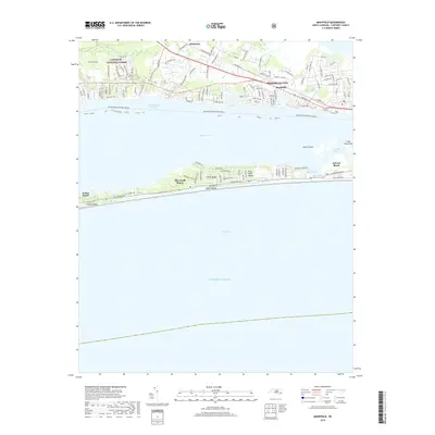
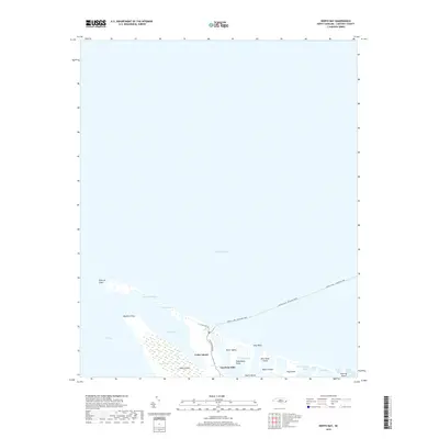
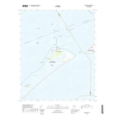
1948 Portsmouth
Carteret County, NC

1949 Core Creek
Carteret County, NC
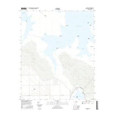
1949 Long Bay
Carteret County, NC

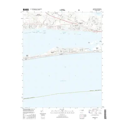
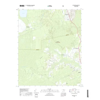
1949 Mansfield
Carteret County, NC

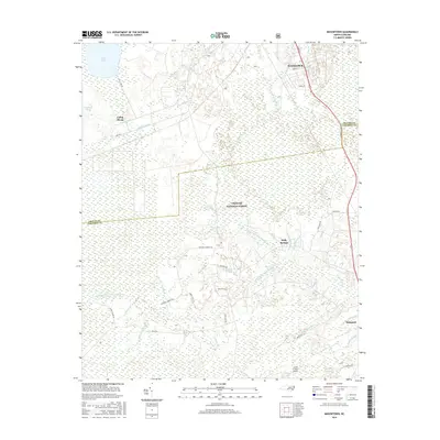
1949 Masontown
Carteret County, NC
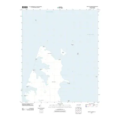
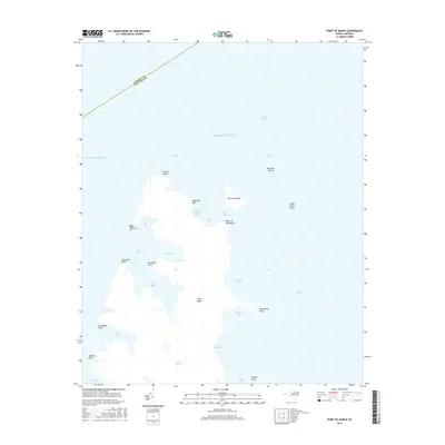
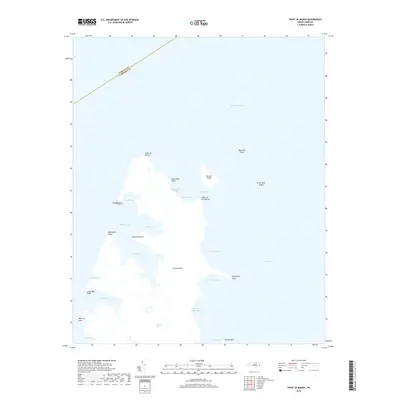
1949 Point Of Marsh
Carteret County, NC

1949 Salter Path
Carteret County, NC

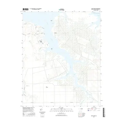
1949 South River
Carteret County, NC
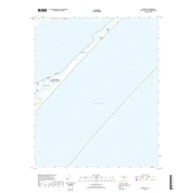
1949 Styron Bay
Carteret County, NC

1949 Williston
Carteret County, NC

1950 Horsepen Point
Carteret County, NC
1950 Long Bay
Carteret County, NC

1950 North Bay
Carteret County, NC

1950 Point Of Marsh
Carteret County, NC
1950 Portsmouth
Carteret County, NC

1950 South River
Carteret County, NC
1951 Cape Lookout
Carteret County, NC
1951 Core Creek
Carteret County, NC
1951 Mansfield
Carteret County, NC
1951 Masontown
Carteret County, NC
1951 Salter Path
Carteret County, NC
1951 Styron Bay
Carteret County, NC

1951 Williston
Carteret County, NC

1984 Hadnot Creek
Carteret County, NC

1994 Core Creek
Carteret County, NC
1994 Hadnot Creek
Carteret County, NC
1994 Mansfield
Carteret County, NC

1994 Masontown
Carteret County, NC
1994 Salter Path
Carteret County, NC
2002 North Bay
Carteret County, NC
2010 Long Bay
Carteret County, NC
2010 North Bay
Carteret County, NC
2010 Point of Marsh
Carteret County, NC
2010 South River
Carteret County, NC
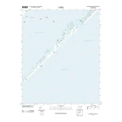
2010 Wainwright Island
Carteret County, NC
2010 Williston
Carteret County, NC
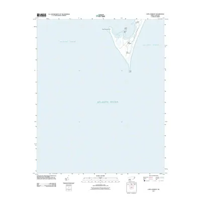
2011 Cape Lookout
Carteret County, NC
2011 Core Creek
Carteret County, NC
2011 Hadnot Creek
Carteret County, NC
2011 Horsepen Point
Carteret County, NC
2011 Mansfield
Carteret County, NC
2011 Masontown
Carteret County, NC
2011 Portsmouth
Carteret County, NC
2011 Salter Path
Carteret County, NC
2011 Styron Bay
Carteret County, NC
2011 Wainwright Island OE N
Carteret County, NC
2013 Cape Lookout
Carteret County, NC
2013 Core Creek
Carteret County, NC
2013 Hadnot Creek
Carteret County, NC
2013 Horsepen Point
Carteret County, NC
2013 Long Bay
Carteret County, NC
2013 Mansfield
Carteret County, NC
2013 Masontown
Carteret County, NC
2013 North Bay
Carteret County, NC
2013 Point of Marsh
Carteret County, NC
2013 Portsmouth
Carteret County, NC
2013 Salter Path
Carteret County, NC
2013 South River
Carteret County, NC

2013 Styron Bay
Carteret County, NC
2013 Wainwright Island
Carteret County, NC
2013 Wainwright Island OE N
Carteret County, NC
2013 Williston
Carteret County, NC
2016 Cape Lookout
Carteret County, NC
2016 Core Creek
Carteret County, NC
2016 Hadnot Creek
Carteret County, NC
2016 Horsepen Point
Carteret County, NC
2016 Long Bay
Carteret County, NC
2016 Mansfield
Carteret County, NC
2016 Masontown
Carteret County, NC
2016 North Bay
Carteret County, NC
2016 Point of Marsh
Carteret County, NC
2016 Portsmouth
Carteret County, NC
2016 Salter Path
Carteret County, NC
2016 South River
Carteret County, NC
2016 Styron Bay
Carteret County, NC
2016 Wainwright Island
Carteret County, NC
2016 Wainwright Island OE N
Carteret County, NC
2016 Williston
Carteret County, NC
2019 Cape Lookout
Carteret County, NC
2019 Core Creek
Carteret County, NC
2019 Hadnot Creek
Carteret County, NC
2019 Horsepen Point
Carteret County, NC
2019 Long Bay
Carteret County, NC
2019 Mansfield
Carteret County, NC
2019 Masontown
Carteret County, NC
2019 North Bay
Carteret County, NC
2019 Point of Marsh
Carteret County, NC
2019 Portsmouth
Carteret County, NC
2019 Salter Path
Carteret County, NC
2019 South River
Carteret County, NC
2019 Styron Bay
Carteret County, NC
2019 Wainwright Island
Carteret County, NC
2019 Wainwright Island OE N
Carteret County, NC
2019 Williston
Carteret County, NC
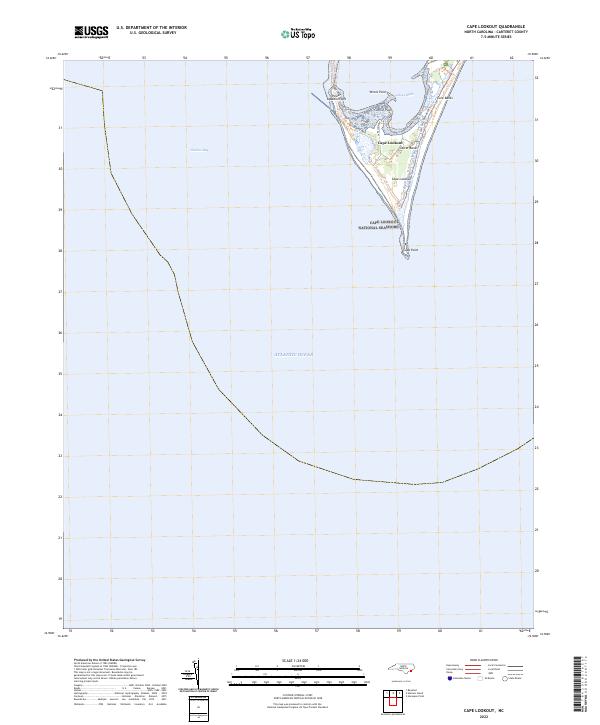
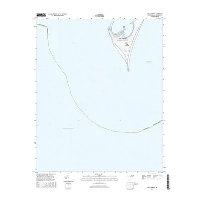
2022 Cape Lookout
Carteret County, NC
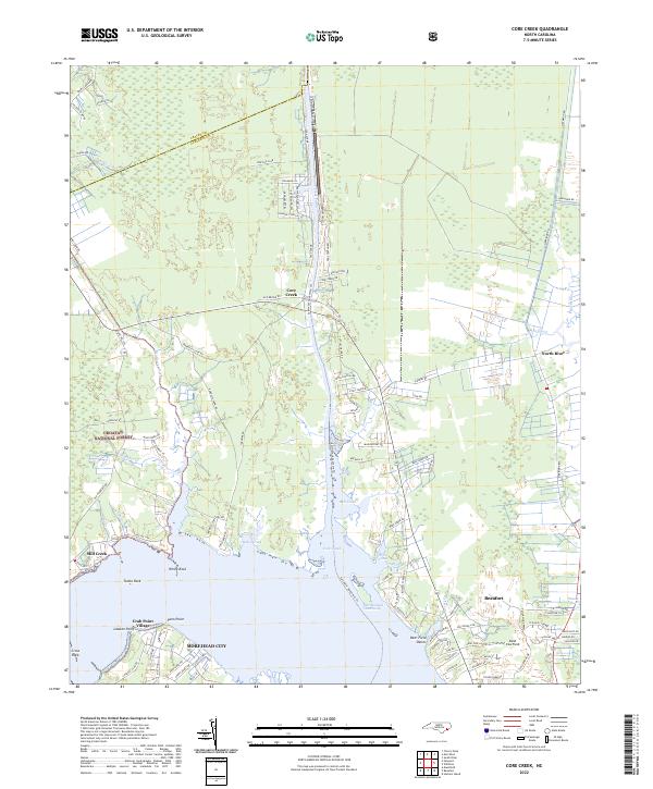
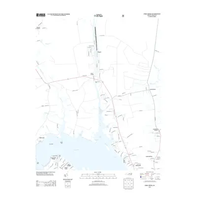
2022 Core Creek
Carteret County, NC

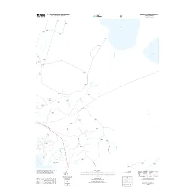
2022 Hadnot Creek
Carteret County, NC
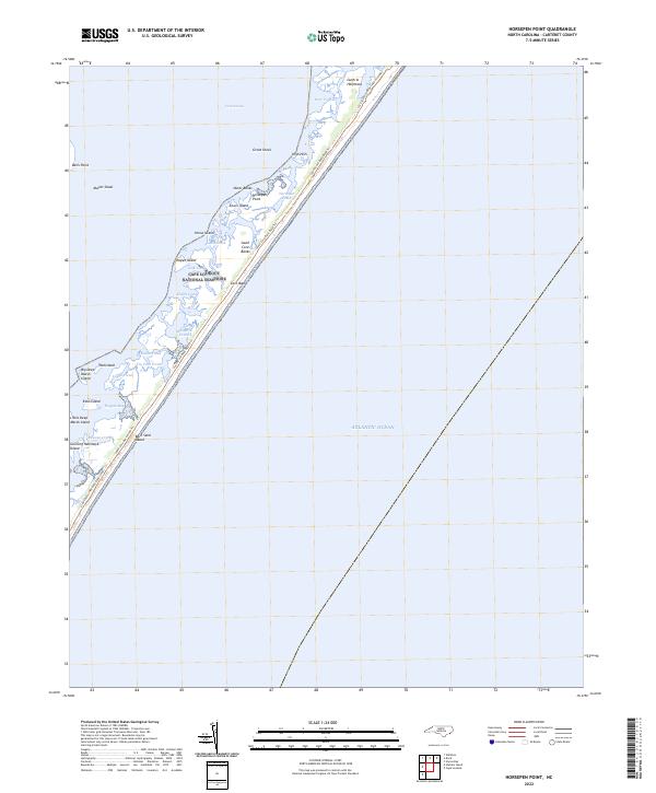
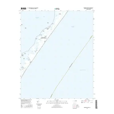
2022 Horsepen Point
Carteret County, NC
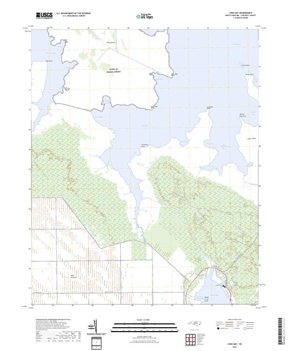
2022 Long Bay
Carteret County, NC
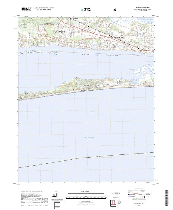
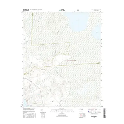
2022 Mansfield
Carteret County, NC
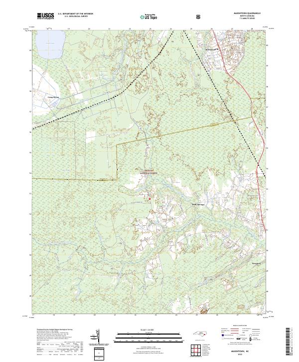
2022 Masontown
Carteret County, NC
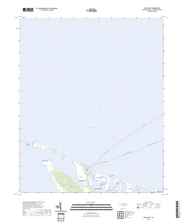
2022 North Bay
Carteret County, NC
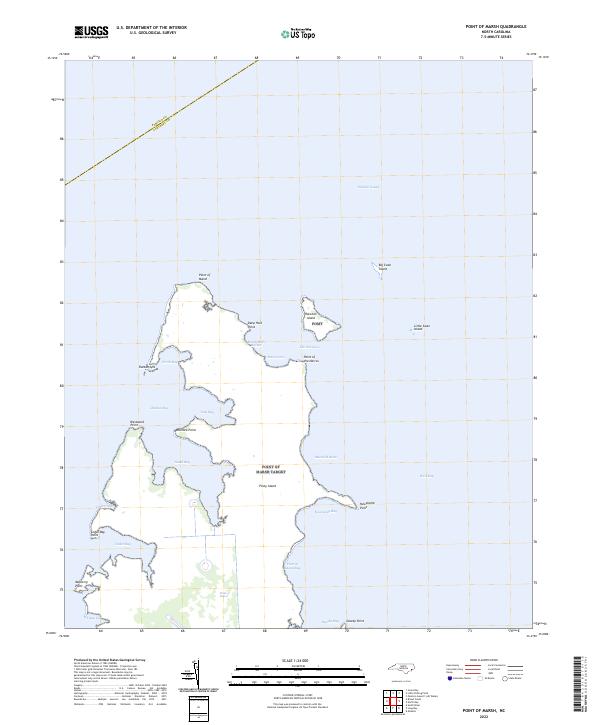
2022 Point of Marsh
Carteret County, NC
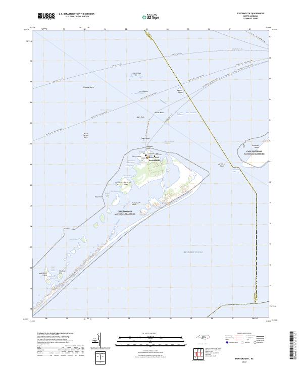
2022 Portsmouth
Carteret County, NC
2022 Salter Path
Carteret County, NC
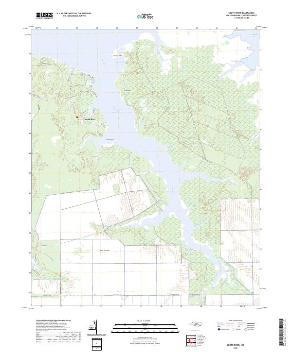
2022 South River
Carteret County, NC
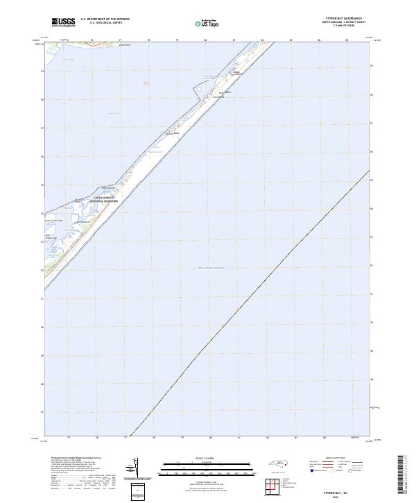
2022 Styron Bay
Carteret County, NC
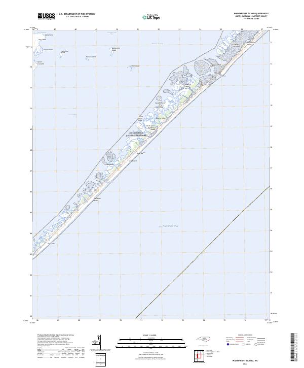
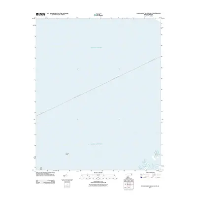
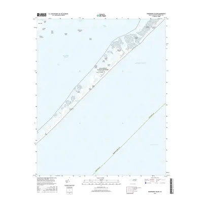
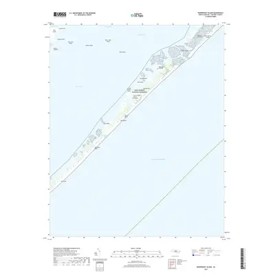
2022 Wainwright Island
Carteret County, NC
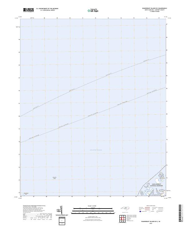
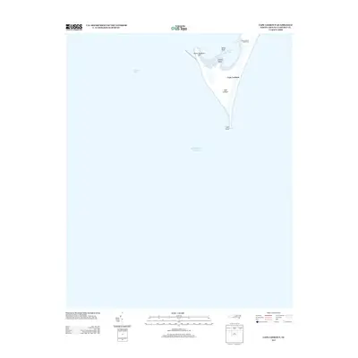
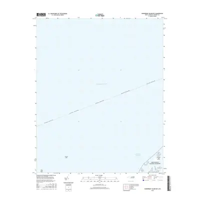
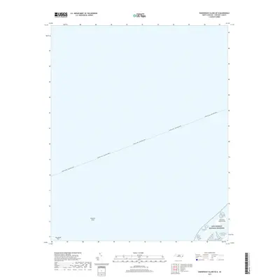
2022 Wainwright Island OE N
Carteret County, NC
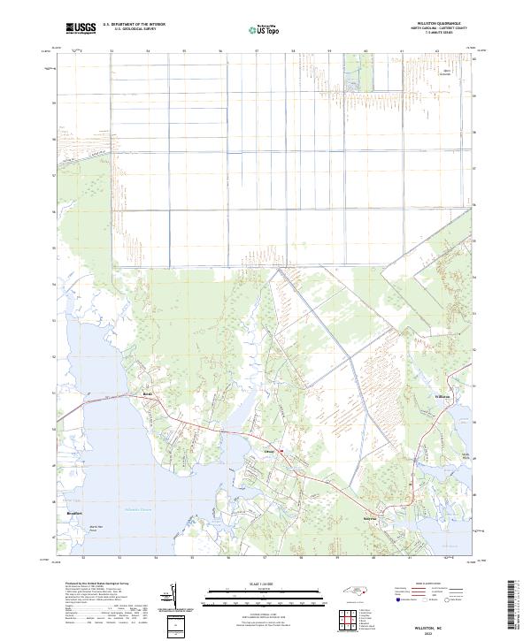
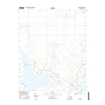
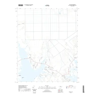
2022 Williston
Carteret County, NC