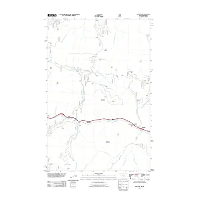
2011 Map of Saltese
USGS Topo · Published 2011About this map
Mining operations and historical mountain passes dominate this 2011 survey of the Montana-Idaho border region. The corridor along the Saint Regis River contains the primary settlements of Saltese, Bryson, and Taft, which historically served as vital stopping points along the transcontinental rail and road routes crossing the Bitterroot Range. The map reveals an extensive industrial history, with numerous extraction sites including the Silver Cable Mine, Last Chance Mine, and the Tarbox-Mineral King Mine dotting the drainages of West Fork Packer Creek and Dominion Creek. Topographical landmarks like Taft Summit and East Fork Pass delineate the challenging geography that shaped the area's development. Local history and genealogy interest is anchored by the Saltese Cemetery, while named routes such as the Hiawatha and Hearst track through the high-elevation terrain near Hemlock Mountain and Bald Mountain.
Find a feature on this map
45 named features on this map. Tap any name to fly to it.
Don’t see what you’re looking for? This feature index may not catch every label — zoom into the map to look around manually.
Map Details
Editions of this 2011 Saltese Map
This is the sole edition of this map. No revisions or reprints were ever made.
Other maps of this area

1914 · Avery
USGS Topo · 1:125,000

1917 · Avery
USGS Topo · 1:125,000

1918 · St Regis
USGS Topo · 1:125,000

1919 · St. Regis
USGS Topo · 1:125,000

1932 · Trout Creek
USGS Topo · 1:125,000

1935 · Trout Creek
USGS Topo · 1:125,000

1936 · Trout Creek
USGS Topo · 1:125,000

1937 · Thompson Falls
USGS Topo · 1:125,000

1937 · Thompson Falls
USGS Topo · 1:62,500

1956 · Cooper Gulch
USGS Topo · 1:62,500