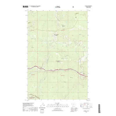
2020 Map of Saltese
USGS Topo · Published 2020About this map
The Saint-Regis River corridor provides the central artery for this high mountain pass area along the Montana-Idaho border. In the early 21st century, the region remains defined by its transportation history, where the NP Railway and the Hiawatha trail trace the steep geography of the Coeur d'Alene Mountains. The small settlements of Saltese, Bryson, and Taft are positioned along this narrow valley floor, surrounded by the protected lands of the Lolo National Forest and St. Joe National Forest.
Find a feature on this map
60 named features on this map. Tap any name to fly to it.
Don’t see what you’re looking for? This feature index may not catch every label — zoom into the map to look around manually.
Map Details
Editions of this 2020 Saltese Map
This is the sole edition of this map. No revisions or reprints were ever made.
Other maps of this area

1914 · Avery
USGS Topo · 1:125,000

1917 · Avery
USGS Topo · 1:125,000

1918 · St Regis
USGS Topo · 1:125,000

1919 · St. Regis
USGS Topo · 1:125,000

1932 · Trout Creek
USGS Topo · 1:125,000

1935 · Trout Creek
USGS Topo · 1:125,000

1936 · Trout Creek
USGS Topo · 1:125,000

1937 · Thompson Falls
USGS Topo · 1:125,000

1937 · Thompson Falls
USGS Topo · 1:62,500

1956 · Cooper Gulch
USGS Topo · 1:62,500