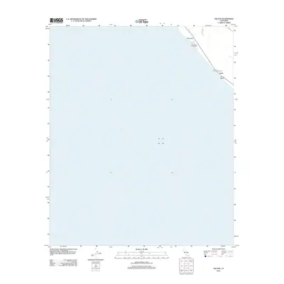
2012 Map of Salton
USGS Topo · Published 2012About this map
The vast expanse of the Salton Sea dominates this 2012 survey, illustrating the shoreline along the northeastern edge of the basin. The map focuses on a thin strip of development and recreational infrastructure squeezed between the water and the rising terrain to the east. Several designated recreation areas are clustered here, including Betz Beach, Mecca Beach Campground, and Corvina Beach Campground. These sites, along with the settlement at Salton Beach, represent the primary points of access and habitation in this desert environment.
Find a feature on this map
8 named features on this map. Tap any name to fly to it.
Don’t see what you’re looking for? This feature index may not catch every label — zoom into the map to look around manually.
Map Details
Editions of this 2012 Salton Map
This is the sole edition of this map. No revisions or reprints were ever made.
Other maps of this area

1904 · Indio
USGS Topo · 1:125,000

1931 · Vallecito
USGS Topo · 1:125,000

1940 · Cottonwood Spring
USGS Topo · 1:62,500

1940 · Durmid
USGS Topo · 1:62,500

1941 · Coachella
USGS Topo · 1:62,500

1942 · Agua Dulce
USGS Topo · 1:62,500

1943 · Vallecito
USGS Topo · 1:125,000

1943 · Coachella
USGS Topo · 1:62,500

1944 · Agua Dulce
USGS Topo · 1:62,500

1944 · Cottonwood Spring
USGS Topo · 1:62,500