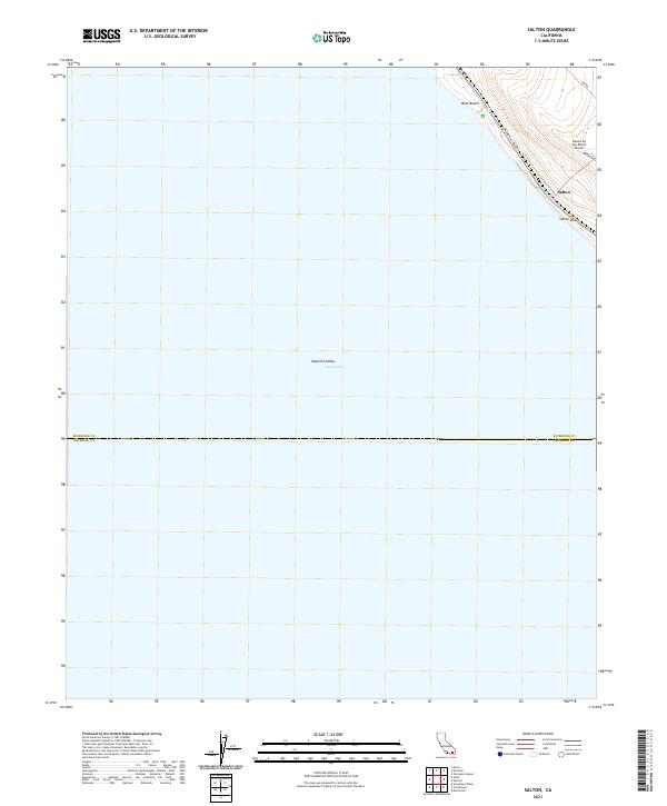
2021 Map of Salton
USGS Topo · Published 2021About this map
The Salton Sea dominates the expanse of this modern landscape, where the waters meet the low-lying reaches of the Imperial Valley. This digital-era survey documents the shoreline during a period of ongoing environmental shift, highlighting the proximity of human settlement to the receding water's edge at Salton and Salton Beach. Transportation in this desert basin is anchored by the corridor of Grapefruit Blvd and the utility of the Desert Air Sky Ranch Airport, which serves the local aviation needs of the northeastern shore. The boundary between Riverside Co and Imperial Co bisects the southern portion of the sheet, providing a precise geographic reference for property research and land management in this distinct arid region. Betz Beach remains a notable coastal landmark along the thin strip of developed land between the highway and the sea.
Find a feature on this map
15 named features on this map. Tap any name to fly to it.
Don’t see what you’re looking for? This feature index may not catch every label — zoom into the map to look around manually.
Map Details
Editions of this 2021 Salton Map
This is the sole edition of this map. No revisions or reprints were ever made.
Other maps of this area

1904 · Indio
USGS Topo · 1:125,000

1931 · Vallecito
USGS Topo · 1:125,000

1940 · Cottonwood Spring
USGS Topo · 1:62,500

1940 · Durmid
USGS Topo · 1:62,500

1941 · Coachella
USGS Topo · 1:62,500

1942 · Agua Dulce
USGS Topo · 1:62,500

1943 · Vallecito
USGS Topo · 1:125,000

1943 · Coachella
USGS Topo · 1:62,500

1944 · Agua Dulce
USGS Topo · 1:62,500

1944 · Cottonwood Spring
USGS Topo · 1:62,500