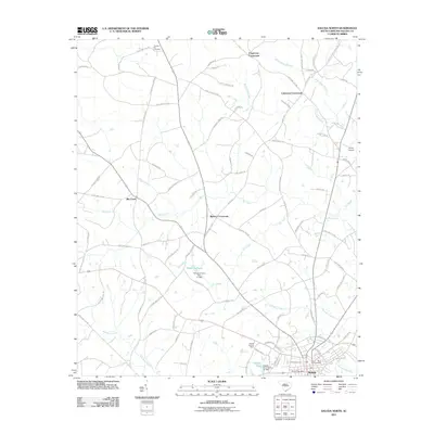
2011 Map of Saluda North
USGS Topo · Published 2011About this map
Saluda anchors the southern edge of this landscape, where the Saluda Post Office and Travis Park Cemetery mark the heart of the community. Moving north, the map reveals a traditional South Carolina Piedmont settlement pattern defined by rural junctions such as Chapmans Crossroads, Colemans Crossroads, and Bleases Crossroads. These intersection points historically served as local hubs for commerce and social gathering among the surrounding farmsteads.
Find a feature on this map
97 named features on this map. Tap any name to fly to it.
Don’t see what you’re looking for? This feature index may not catch every label — zoom into the map to look around manually.
Map Details
Editions of this 2011 Saluda North Map
This is the sole edition of this map. No revisions or reprints were ever made.
Other maps of this area

1941 · Spartanburg
USGS Topo · 1:250,000

1953 · Spartanburg
USGS Topo · 1:250,000

1954 · Augusta
USGS Topo · 1:250,000

1957 · Augusta
USGS Topo · 1:250,000

1958 · Augusta
USGS Topo · 1:250,000

1960 · Spartanburg
USGS Topo · 1:250,000

1961 · Augusta
USGS Topo · 1:250,000

1962 · Augusta
USGS Topo · 1:250,000

1963 · Spartanburg
USGS Topo · 1:250,000

1964 · Spartanburg
USGS Topo · 1:250,000