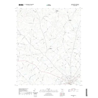
2020 Map of Saluda North
USGS Topo · Published 2020About this map
Saluda anchors the southern boundary of this landscape, where the Saluda County Courthouse stands as the civic centerpiece of the county seat. The surrounding terrain is defined by a network of rural junctions, including Chapmans Crossroads, Colemans Crossroads, and Bleases Crossroads, which speak to the historic settlement patterns of the South Carolina Midlands. These points connected the various family farmsteads and agricultural tracts that defined local life for generations.
Find a feature on this map
93 named features on this map. Tap any name to fly to it.
Don’t see what you’re looking for? This feature index may not catch every label — zoom into the map to look around manually.
Map Details
Editions of this 2020 Saluda North Map
This is the sole edition of this map. No revisions or reprints were ever made.
Other maps of this area

1941 · Spartanburg
USGS Topo · 1:250,000

1953 · Spartanburg
USGS Topo · 1:250,000

1954 · Augusta
USGS Topo · 1:250,000

1957 · Augusta
USGS Topo · 1:250,000

1958 · Augusta
USGS Topo · 1:250,000

1960 · Spartanburg
USGS Topo · 1:250,000

1961 · Augusta
USGS Topo · 1:250,000

1962 · Augusta
USGS Topo · 1:250,000

1963 · Spartanburg
USGS Topo · 1:250,000

1964 · Spartanburg
USGS Topo · 1:250,000