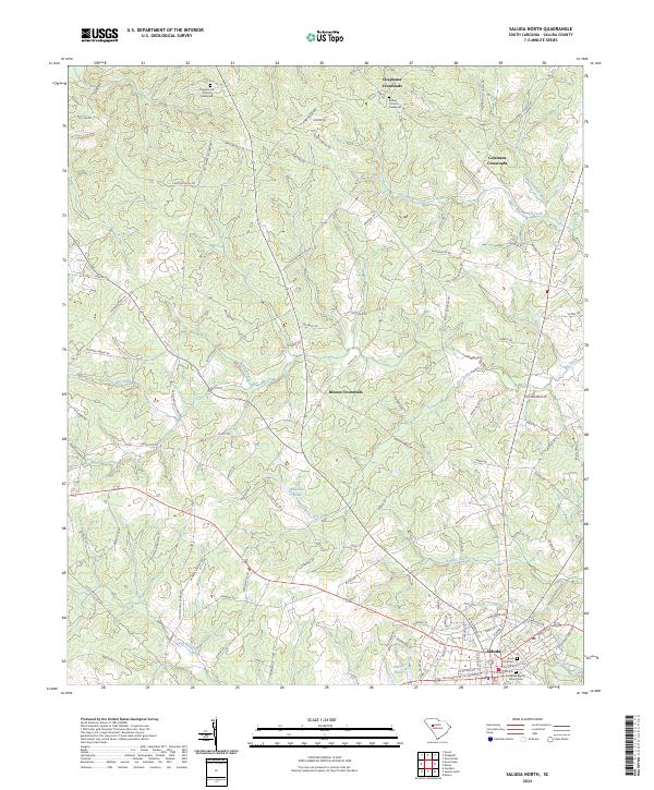
2024 Map of Saluda North
USGS Topo · Published 2024About this map
Saluda anchors the southern portion of this landscape, where the Little Saluda River flows near the historic town center. This area is characterized by a network of rural hubs, including Chapmans Crossroads, Colemans Crossroads, and Bleases Crossroads, which speak to the region's long-standing reliance on local road junctions for commerce and community. The terrain is deeply tied to its spiritual and ancestral roots, evidenced by several prominent congregations and burial grounds. Chestnut Hill Church and its associated Chestnut Hill Graveyard sit in the northern reaches, while Bethel Church and the Bethel Graveyard serve the community further east. In the town of Saluda, the Red Bank Baptist Church and Park Cem offer specific points of interest for those tracing family ties to the county seat. Numerous waterways such as Persimmon Creek, Big Creek, and Burnets Creek branch through the countryside, feeding into local landmarks like Wheelers Pond and Felkels Pond.
Find a feature on this map
103 named features on this map. Tap any name to fly to it.
Don’t see what you’re looking for? This feature index may not catch every label — zoom into the map to look around manually.
Map Details
Editions of this 2024 Saluda North Map
This is the sole edition of this map. No revisions or reprints were ever made.
Other maps of this area

1941 · Spartanburg
USGS Topo · 1:250,000

1953 · Spartanburg
USGS Topo · 1:250,000

1954 · Augusta
USGS Topo · 1:250,000

1957 · Augusta
USGS Topo · 1:250,000

1958 · Augusta
USGS Topo · 1:250,000

1960 · Spartanburg
USGS Topo · 1:250,000

1961 · Augusta
USGS Topo · 1:250,000

1962 · Augusta
USGS Topo · 1:250,000

1963 · Spartanburg
USGS Topo · 1:250,000

1964 · Spartanburg
USGS Topo · 1:250,000