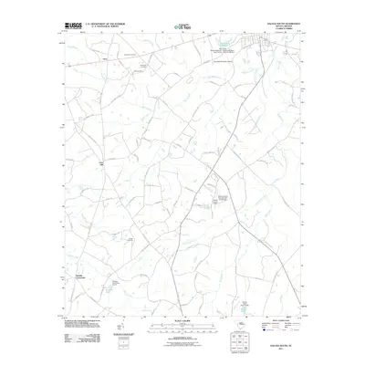
2011 Map of Saluda South
USGS Topo · Published 2011About this map
Etheredge Plantation Airport and Saluda County Airport flank the upper reaches of this South Carolina landscape, where the terrain is defined by a dense network of tributaries feeding into the Little Saluda River. Small settlements such as Fruit Hill, Limp, and Mathais Crossroads appear along the county roads, representing the enduring rural communities of the region. Family and local history are etched into the land at Gassaway Cemetery, Hill Cemetery, and Wright Cemetery, providing specific points of interest for genealogical research in this part of Saluda County.
Find a feature on this map
88 named features on this map. Tap any name to fly to it.
Don’t see what you’re looking for? This feature index may not catch every label — zoom into the map to look around manually.
Map Details
Editions of this 2011 Saluda South Map
This is the sole edition of this map. No revisions or reprints were ever made.
Other maps of this area

1941 · Spartanburg
USGS Topo · 1:250,000

1953 · Spartanburg
USGS Topo · 1:250,000

1954 · Augusta
USGS Topo · 1:250,000

1957 · Augusta
USGS Topo · 1:250,000

1958 · Augusta
USGS Topo · 1:250,000

1960 · Spartanburg
USGS Topo · 1:250,000

1961 · Augusta
USGS Topo · 1:250,000

1962 · Augusta
USGS Topo · 1:250,000

1963 · Spartanburg
USGS Topo · 1:250,000

1964 · Spartanburg
USGS Topo · 1:250,000