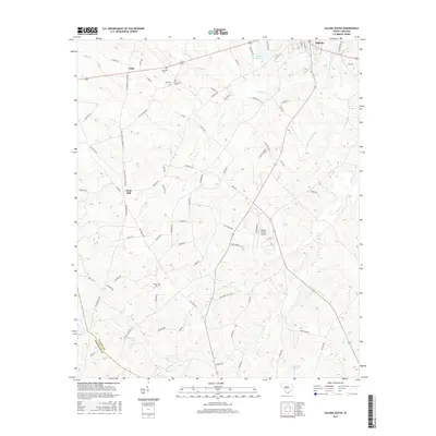
2017 Map of Saluda South
USGS Topo · Published 2017About this map
The town of Saluda sits at the northeastern corner of this South Carolina landscape, where the Little Saluda River and New Saluda Reservoir regulate the local hydrology. The area is defined by its agrarian and residential transition, marked by settlements such as Fruit Hill and Limp, along with the newer Persimmon Hill Ests. For those researching local families, the map identifies several burial sites, including Gassaway Cem, Hill Cem, and Wright Cem, which are tucked away along rural routes like Old Gassaway Rd and Bledsoe Rd.
Find a feature on this map
80 named features on this map. Tap any name to fly to it.
Don’t see what you’re looking for? This feature index may not catch every label — zoom into the map to look around manually.
Map Details
Editions of this 2017 Saluda South Map
This is the sole edition of this map. No revisions or reprints were ever made.
Other maps of this area

1941 · Spartanburg
USGS Topo · 1:250,000

1953 · Spartanburg
USGS Topo · 1:250,000

1954 · Augusta
USGS Topo · 1:250,000

1957 · Augusta
USGS Topo · 1:250,000

1958 · Augusta
USGS Topo · 1:250,000

1960 · Spartanburg
USGS Topo · 1:250,000

1961 · Augusta
USGS Topo · 1:250,000

1962 · Augusta
USGS Topo · 1:250,000

1963 · Spartanburg
USGS Topo · 1:250,000

1964 · Spartanburg
USGS Topo · 1:250,000