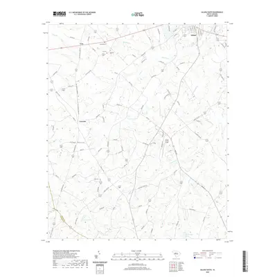
2020 Map of Saluda South
USGS Topo · Published 2020About this map
Saluda sits at the northern edge of this landscape, where the Little Saluda River and its numerous tributaries like Mine Cr and Red Bank Cr carve through the Piedmont terrain. Small communities and historical landing points such as Fruit Hill and Limp are connected by a network of rural roads including Old Chappells Ferry Rd and Old Edgefield Rd, reflecting long-established transit corridors between the county seats.
Find a feature on this map
89 named features on this map. Tap any name to fly to it.
Don’t see what you’re looking for? This feature index may not catch every label — zoom into the map to look around manually.
Map Details
Editions of this 2020 Saluda South Map
This is the sole edition of this map. No revisions or reprints were ever made.
Other maps of this area

1941 · Spartanburg
USGS Topo · 1:250,000

1953 · Spartanburg
USGS Topo · 1:250,000

1954 · Augusta
USGS Topo · 1:250,000

1957 · Augusta
USGS Topo · 1:250,000

1958 · Augusta
USGS Topo · 1:250,000

1960 · Spartanburg
USGS Topo · 1:250,000

1961 · Augusta
USGS Topo · 1:250,000

1962 · Augusta
USGS Topo · 1:250,000

1963 · Spartanburg
USGS Topo · 1:250,000

1964 · Spartanburg
USGS Topo · 1:250,000