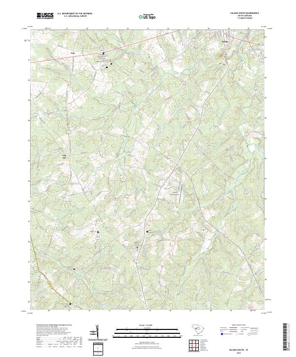
2024 Map of Saluda South
USGS Topo · Published 2024About this map
The Little Saluda River and its numerous tributaries, including Mine Creek and Red Bank Creek, define the rolling landscape of this region south of the Saluda town center. This area is characterized by a dense network of rural churches and family cemeteries, suggesting a long history of established community settlements. Notable sites like the Gassaway United Methodist Church and the Gassaway United Methodist Church Cem Old serve as significant genealogical landmarks.
Find a feature on this map
109 named features on this map. Tap any name to fly to it.
Don’t see what you’re looking for? This feature index may not catch every label — zoom into the map to look around manually.
Map Details
Editions of this 2024 Saluda South Map
This is the sole edition of this map. No revisions or reprints were ever made.
Other maps of this area

1941 · Spartanburg
USGS Topo · 1:250,000

1953 · Spartanburg
USGS Topo · 1:250,000

1954 · Augusta
USGS Topo · 1:250,000

1957 · Augusta
USGS Topo · 1:250,000

1958 · Augusta
USGS Topo · 1:250,000

1960 · Spartanburg
USGS Topo · 1:250,000

1961 · Augusta
USGS Topo · 1:250,000

1962 · Augusta
USGS Topo · 1:250,000

1963 · Spartanburg
USGS Topo · 1:250,000

1964 · Spartanburg
USGS Topo · 1:250,000