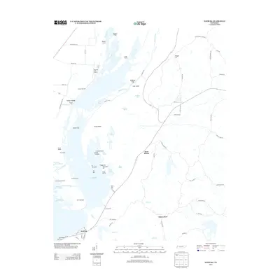
2013 Map of Samburg
USGS Topo · Published 2013About this map
The waters of Reelfoot Lake dominate this western Tennessee landscape, where the town of Samburg serves as a primary hub for lake access. The intricate network of towheads, bars, and sloughs reveals a highly complex aquatic environment, featuring named spots like Nix Towhead, Brewers Bar, and the expansive Grassy Island. Local commerce and recreation are centered around the water, evidenced by landmarks such as Straders Boat Dock and Millers Boat Dock, which support the fishing and boating activities essential to the region's character.
Find a feature on this map
170 named features on this map. Tap any name to fly to it.
Don’t see what you’re looking for? This feature index may not catch every label — zoom into the map to look around manually.
Map Details
Editions of this 2013 Samburg Map
This is the sole edition of this map. No revisions or reprints were ever made.
Other maps of this area

1925 · Reelfoot Lake
USGS Topo · 1:62,500

1939 · Reelfoot Lake
USGS Topo · 1:62,500

1939 · Hickman
USGS Topo · 1:62,500

1939 · Bayouville
USGS Topo · 1:62,500

1950 · Obion
USGS Topo · 1:24,000

1951 · Obion
USGS Topo · 1:24,000

1951 · Bondurant
USGS Topo · 1:24,000

1951 · Hickman
USGS Topo · 1:24,000

1951 · Hubbard Lake
USGS Topo · 1:24,000

1954 · Hickman
USGS Topo · 1:62,500