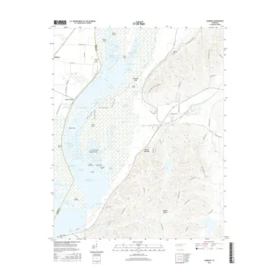
2016 Map of Samburg
USGS Topo · Published 2016About this map
Bayou du Chien and a complex network of arms and pockets define this 2016 survey of the Reelfoot Lake area on the border of Obion and Lake Counties. The landscape is a detailed mosaic of wetlands and ridges, featuring prominent landforms like Hickory Ridge and Fishgap Hill. Small settlements and historic points of interest are scattered throughout the region, including Walnut Log and Spout Springs, while Roneys Store serves as a landmark in the southern reaches. Local family and community history is anchored by Crescent Cem and the Reelfoot Lake Airport near Phillippy. The map also captures several recreational and conservation elements, such as the Grassy Island Loop Trail and various bars and towheads like Fehringer Bar and Snaggy Towhead, illustrating the area's contemporary role as a managed natural environment.
Find a feature on this map
96 named features on this map. Tap any name to fly to it.
Don’t see what you’re looking for? This feature index may not catch every label — zoom into the map to look around manually.
Map Details
Editions of this 2016 Samburg Map
This is the sole edition of this map. No revisions or reprints were ever made.
Other maps of this area

1925 · Reelfoot Lake
USGS Topo · 1:62,500

1939 · Reelfoot Lake
USGS Topo · 1:62,500

1939 · Hickman
USGS Topo · 1:62,500

1939 · Bayouville
USGS Topo · 1:62,500

1950 · Obion
USGS Topo · 1:24,000

1951 · Obion
USGS Topo · 1:24,000

1951 · Bondurant
USGS Topo · 1:24,000

1951 · Hickman
USGS Topo · 1:24,000

1951 · Hubbard Lake
USGS Topo · 1:24,000

1954 · Hickman
USGS Topo · 1:62,500