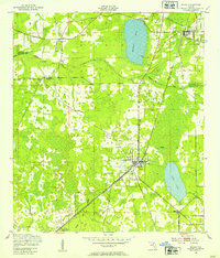
1949 Map of Sampson
USGS Topo · Published 1972About this map
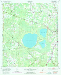
Lake Sampson, Lake Crosby, and Lake Rowell dominate the central landscape of this Bradford County survey, forming a significant cluster of natural water bodies south of Raiford. The settlement of Sampson and the Sampson City Sta mark the intersection of critical regional transport lines, where the Southern and Seaboard Coast Line railroads converge near the headwaters of the Sampson River. These tracks once dictated the movement of agricultural goods and passengers through this lake-rich Florida interior.
Find a feature on this map
20 named features on this map. Tap any name to fly to it.
Don’t see what you’re looking for? This feature index may not catch every label — zoom into the map to look around manually.
Map Details
Editions of this 1949 Sampson Map
4 editions found
Other maps of this area

1918 · Lawtey
USGS Topo · 1:62,500

1941 · Starke
USGS Topo · 1:62,500

1948 · Starke
USGS Topo · 1:50,000

1949 · Sampson
USGS Topo · 1:24,000
1949 · Starke
USGS Topo · 1:24,000
1949 · Waldo
USGS Topo · 1:24,000
1949 · Keystone Heights
USGS Topo · 1:24,000
1949 · Starke
USGS Topo · 1:62,500

1954 · Gainesville
USGS Topo · 1:250,000

1954 · Valdosta
USGS Topo · 1:250,000