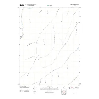
2010 Map of Sams Canyon
USGS Topo · Published 2010About this map
Frank Mine and Payne Mine anchor the northeastern ridges of this high-elevation landscape, where resource extraction and backcountry passage define the geography. The map captures a complex drainage system centered on Sams Canyon and its many offshoots, including East Fork Sams Canyon and Dipping Vat Hollow. These labels suggest a history of grazing and land use in the Duchesne County high country. In the north, the Strawberry River cuts across the terrain, while the western edge is dominated by Avintaquin Canyon and the winding Avintaquin Road. Travel through this region relies on a network of 4WD trails and primitive routes such as Lake Canyon Road and the path along Right Fork Indian Canyon, connecting remote points like Big Spring and Monument Gulch.
Find a feature on this map
33 named features on this map. Tap any name to fly to it.
Don’t see what you’re looking for? This feature index may not catch every label — zoom into the map to look around manually.
Map Details
Editions of this 2010 Sams Canyon Map
This is the sole edition of this map. No revisions or reprints were ever made.
Other maps of this area

1885 · Uinta
USGS Topo · 1:250,000

1886 · Price River
USGS Topo · 1:250,000

1896 · Price River
USGS Topo · 1:250,000

1954 · Salt Lake City
USGS Topo · 1:250,000

1956 · Price
USGS Topo · 1:250,000

1958 · Salt Lake City
USGS Topo · 1:250,000

1960 · Salt Lake City
USGS Topo · 1:250,000

1960 · Price
USGS Topo · 1:250,000

1962 · Price
USGS Topo · 1:250,000

1962 · Strawberry Pinnacles
USGS Topo · 1:24,000