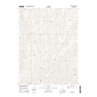
2014 Map of Sams Canyon
USGS Topo · Published 2014About this map
Avintaquin Canyon and the high plateaus of Duchesne County dominate this 2014 survey, illustrating a landscape defined by an intricate network of drainages and named hollows. The terrain transitions from the deep cut of Sams Canyon in the north to the southern reaches of Lake Canyon, where Lake Canyon Rd follows the natural contours of the geography. Local history is reflected in names like Bear Gulch, Monument Gulch, and Hoodoo Canyon, suggesting a region shaped by both its geology and the early ranching or exploration routes that established these identifiers.
Find a feature on this map
35 named features on this map. Tap any name to fly to it.
Don’t see what you’re looking for? This feature index may not catch every label — zoom into the map to look around manually.
Map Details
Editions of this 2014 Sams Canyon Map
This is the sole edition of this map. No revisions or reprints were ever made.
Other maps of this area

1885 · Uinta
USGS Topo · 1:250,000

1886 · Price River
USGS Topo · 1:250,000

1896 · Price River
USGS Topo · 1:250,000

1954 · Salt Lake City
USGS Topo · 1:250,000

1956 · Price
USGS Topo · 1:250,000

1958 · Salt Lake City
USGS Topo · 1:250,000

1960 · Salt Lake City
USGS Topo · 1:250,000

1960 · Price
USGS Topo · 1:250,000

1962 · Price
USGS Topo · 1:250,000

1962 · Strawberry Pinnacles
USGS Topo · 1:24,000