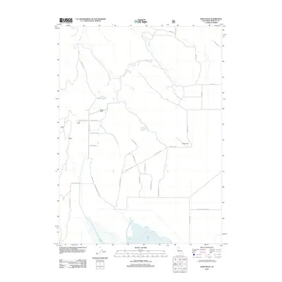
2012 Map of Sams Neck
USGS Topo · Published 2012About this map
Meiss Lake dominates the southern reaches of this high-plateau landscape in Siskiyou County, where the transition from water to land is marked by an intricate network of local roads and trails. The map documents the rural settlement of Gillis and the nearby Dysert Ranch, reflecting a landscape defined by livestock ranching and timber transit. Higher ground is marked by prominent landmarks like Sams Neck and Indian Point, while the northern terrain is dissected by Rock Cr and the waters of Secret Spring. Transportation history is visible through the alignment of the Old State Hwy and the Overland Trl, which cut through the open spaces. The network of secondary routes such as School House Rd and Log House Rd provides a clear spatial record of the family ranches and small-scale developments that characterize this corner of Northern California.
Find a feature on this map
23 named features on this map. Tap any name to fly to it.
Don’t see what you’re looking for? This feature index may not catch every label — zoom into the map to look around manually.
Map Details
Editions of this 2012 Sams Neck Map
This is the sole edition of this map. No revisions or reprints were ever made.
Other maps of this area

1886 · Modoc Lava Bed
USGS Topo · 1:250,000

1886 · Shasta
USGS Topo · 1:250,000

1889 · Klamath
USGS Topo · 1:250,000

1891 · Ashland
USGS Topo · 1:250,000

1892 · Modoc Lava-Bed
USGS Topo · 1:250,000

1893 · Ashland
USGS Topo · 1:250,000

1894 · Klamath
USGS Topo · 1:250,000

1894 · Shasta
USGS Topo · 1:250,000

1897 · Ashland
USGS Topo · 1:250,000

1934 · Macdoel
USGS Topo · 1:96,000