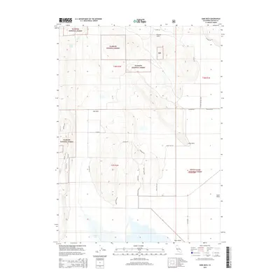
2015 Map of Sams Neck
USGS Topo · Published 2015About this map
Sams Neck and the surrounding high basins of Siskiyou County define this corner of the Klamath National Forest. The landscape is dominated by the seasonal waters of Meiss Lake and the expanse of Butte Valley to the east. This 2015 survey reveals a complex network of forest access routes, including Rocky Ridge Rd and the Overhead Trl, which navigate the steep transition from the valley floor to high points like McGavin Peak. These roads and trails reflect the ongoing management of timber and water resources, connecting isolated water sources such as Secret Spring with the lowlands. The presence of features like Indian Point and Pleasant Valley suggests a history of grazing and ranching in these high-altitude flats, where the drainages of Rock Cr cut through the volcanic terrain.
Find a feature on this map
30 named features on this map. Tap any name to fly to it.
Don’t see what you’re looking for? This feature index may not catch every label — zoom into the map to look around manually.
Map Details
Editions of this 2015 Sams Neck Map
This is the sole edition of this map. No revisions or reprints were ever made.
Other maps of this area

1886 · Modoc Lava Bed
USGS Topo · 1:250,000

1886 · Shasta
USGS Topo · 1:250,000

1889 · Klamath
USGS Topo · 1:250,000

1891 · Ashland
USGS Topo · 1:250,000

1892 · Modoc Lava-Bed
USGS Topo · 1:250,000

1893 · Ashland
USGS Topo · 1:250,000

1894 · Klamath
USGS Topo · 1:250,000

1894 · Shasta
USGS Topo · 1:250,000

1897 · Ashland
USGS Topo · 1:250,000

1934 · Macdoel
USGS Topo · 1:96,000