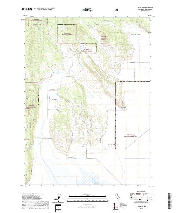
2022 Map of Sams Neck
USGS Topo · Published 2022About this map
Klamath National Forest and the Butte Valley National Grassland meet in this northern California landscape, defined by sharp transitions between timbered uplands and the broad, flat basin of Butte Valley. The terrain rises toward McGavin Peak in the west, while the eastern flats are dominated by the seasonal basin of Meiss Lake. This region reflects a history of transit and rural development, evidenced by routes like the Old State Hwy and Overland Trl. Local land use is further marked by descriptive road names such as School House Rd and Log House Rd, which suggest the locations of early homesteading and community infrastructure. Significant topographical features like Sams Neck and Indian Point divide the forest from the open grasslands, illustrating the varied geography of Siskiyou County.
Find a feature on this map
31 named features on this map. Tap any name to fly to it.
Don’t see what you’re looking for? This feature index may not catch every label — zoom into the map to look around manually.
Map Details
Editions of this 2022 Sams Neck Map
This is the sole edition of this map. No revisions or reprints were ever made.
Other maps of this area

1886 · Modoc Lava Bed
USGS Topo · 1:250,000

1886 · Shasta
USGS Topo · 1:250,000

1889 · Klamath
USGS Topo · 1:250,000

1891 · Ashland
USGS Topo · 1:250,000

1892 · Modoc Lava-Bed
USGS Topo · 1:250,000

1893 · Ashland
USGS Topo · 1:250,000

1894 · Klamath
USGS Topo · 1:250,000

1894 · Shasta
USGS Topo · 1:250,000

1897 · Ashland
USGS Topo · 1:250,000

1934 · Macdoel
USGS Topo · 1:96,000