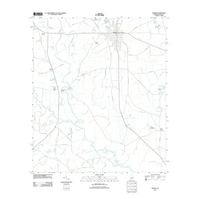
2011 Map of Samson
USGS Topo · Published 2011About this map
The town of Samson serves as the central hub of this South Alabama landscape, situated near the headwaters of numerous creeks that feed into the Pea River. The river winds through the western and southern reaches of the quadrangle, punctuated by local landmarks like Lake Victoria and the Neal Spears Dam. This 2011 survey reveals a landscape shaped by water and tradition, where small fishing spots like Sellers Fishpond and Pettits Fishponds dot the outskirts of town.
Find a feature on this map
77 named features on this map. Tap any name to fly to it.
Don’t see what you’re looking for? This feature index may not catch every label — zoom into the map to look around manually.
Map Details
Editions of this 2011 Samson Map
This is the sole edition of this map. No revisions or reprints were ever made.
Other maps of this area

1942 · Enterprise
USGS Topo · 1:125,000

1949 · Glendale
USGS Topo · 1:62,500

1949 · Hobbs Crossroads
USGS Topo · 1:24,000

1950 · Hobbs Cross Roads
USGS Topo · 1:24,000

1951 · Glendale
USGS Topo · 1:62,500

1953 · Andalusia
USGS Topo · 1:250,000

1953 · Dothan
USGS Topo · 1:250,000

1954 · Dothan
USGS Topo · 1:250,000

1954 · Tallahassee
USGS Topo · 1:250,000

1955 · Dothan
USGS Topo · 1:250,000