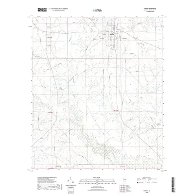
2020 Map of Samson
USGS Topo · Published 2020About this map
The Pea River and its numerous tributaries, such as Flat Creek and Sandy Cr, define the drainage patterns around the city of Samson. This modern survey reveals a landscape where traditional river crossings and small-scale water features persist alongside the grid of the city. Notable landmarks include the Hays Ferry Bridge and the Logan Field airfield, reflecting both historic transit and 20th-century aviation infrastructure.
Find a feature on this map
100 named features on this map. Tap any name to fly to it.
Don’t see what you’re looking for? This feature index may not catch every label — zoom into the map to look around manually.
Map Details
Editions of this 2020 Samson Map
This is the sole edition of this map. No revisions or reprints were ever made.
Other maps of this area

1942 · Enterprise
USGS Topo · 1:125,000

1949 · Glendale
USGS Topo · 1:62,500

1949 · Hobbs Crossroads
USGS Topo · 1:24,000

1950 · Hobbs Cross Roads
USGS Topo · 1:24,000

1951 · Glendale
USGS Topo · 1:62,500

1953 · Andalusia
USGS Topo · 1:250,000

1953 · Dothan
USGS Topo · 1:250,000

1954 · Dothan
USGS Topo · 1:250,000

1954 · Tallahassee
USGS Topo · 1:250,000

1955 · Dothan
USGS Topo · 1:250,000