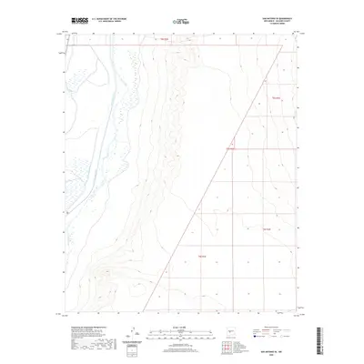
2020 Map of San Antonio SE
USGS Topo · Published 2020About this map
The Rio Grande defines the western edge of this Socorro County landscape, flanked by a network of historic irrigation structures including the San Antonio Ditch and Elmendorf Ditch. This 2020 survey illustrates the managed water systems that have sustained agricultural life in the valley for generations. Moving east from the river, the terrain rises into the arid uplands of the Middle Rio Grande Valley, marked by the systematic sectioning of the Public Land Survey System within townships t5s r1e, t5s r2e, t6s r1e, and t6s r2e. The contrast between the lush river corridor and the high desert plains reflects the vital role of the Rio Grande in shaping New Mexico's regional development and land use patterns.
Find a feature on this map
7 named features on this map. Tap any name to fly to it.
Don’t see what you’re looking for? This feature index may not catch every label — zoom into the map to look around manually.
Map Details
Editions of this 2020 San Antonio SE Map
This is the sole edition of this map. No revisions or reprints were ever made.
Other maps of this area

1948 · Carthage
USGS Topo · 1:62,500

1948 · Granjean Well
USGS Topo · 1:62,500

1948 · San Antonio
USGS Topo · 1:62,500

1948 · Val Verde
USGS Topo · 1:62,500

1954 · Tularosa
USGS Topo · 1:250,000

1958 · Tularosa
USGS Topo · 1:250,000

1981 · Granjean Well
USGS Topo · 1:24,000
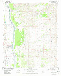
1981 · San Antonio
USGS Topo · 1:24,000
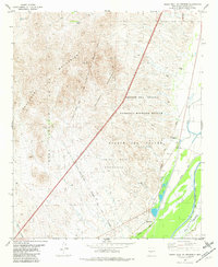
1981 · Indian Well Wilderness
USGS Topo · 1:24,000
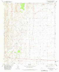
1981 · Canon Agua Buena
USGS Topo · 1:24,000